File:St Briavels churchyard - geograph.org.uk - 521396.jpg
No higher resolution available.
St_Briavels_churchyard_-_geograph.org.uk_-_521396.jpg (640 × 329 pixels, file size: 129 KB, MIME type: image/jpeg)
Captions
Captions
Add a one-line explanation of what this file represents
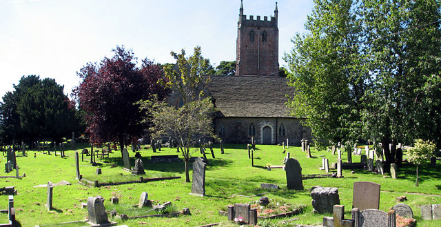
This is a photo of listed building number 1299118. |
Summary edit
| Description |
English: St Briavels churchyard. North of the church. A footpath runs left to right across the churchyard to a gate on the Mork Road. See 520093 |
| Date | |
| Source | From geograph.org.uk |
| Author | Roy Parkhouse |
| Attribution (required by the license) | Roy Parkhouse / St Briavels churchyard / |
| Camera location | | View this and other nearby images on: OpenStreetMap |
|---|
_heading:180.00&language=en)
| Object location | | View this and other nearby images on: OpenStreetMap |
|---|
_heading:180.00&language=en)
Licensing edit

|
This image was taken from the Geograph project collection. See this photograph's page on the Geograph website for the photographer's contact details. The copyright on this image is owned by Roy Parkhouse and is licensed for reuse under the Creative Commons Attribution-ShareAlike 2.0 license.
|
This file is licensed under the Creative Commons Attribution-Share Alike 2.0 Generic license.
Attribution: Roy Parkhouse
- You are free:
- to share – to copy, distribute and transmit the work
- to remix – to adapt the work
- Under the following conditions:
- attribution – You must give appropriate credit, provide a link to the license, and indicate if changes were made. You may do so in any reasonable manner, but not in any way that suggests the licensor endorses you or your use.
- share alike – If you remix, transform, or build upon the material, you must distribute your contributions under the same or compatible license as the original.
File history
Click on a date/time to view the file as it appeared at that time.
| Date/Time | Thumbnail | Dimensions | User | Comment | |
|---|---|---|---|---|---|
| current | 17:30, 5 February 2011 | | 640 × 329 (129 KB) | GeographBot (talk | contribs) | == {{int:filedesc}} == {{Information |description={{en|1=St Briavels churchyard North of the church. A footpath runs left to right across the churchyard to a gate on the Mork Road. See 520093}} |date=2007-08-10 |source=From [http://www.geograph.org.uk |
You cannot overwrite this file.
File usage on Commons
The following page uses this file:
File usage on other wikis
The following other wikis use this file:
- Usage on ceb.wikipedia.org
- Usage on en.wikipedia.org
- Usage on lld.wikipedia.org
- Usage on nl.wikipedia.org
- Usage on www.wikidata.org