File:St Mary's island Scilly.svg

Size of this PNG preview of this SVG file: 600 × 600 pixels. Other resolutions: 240 × 240 pixels | 480 × 480 pixels | 768 × 768 pixels | 1,024 × 1,024 pixels | 2,048 × 2,048 pixels | 919 × 919 pixels.
Original file (SVG file, nominally 919 × 919 pixels, file size: 181 KB)
Captions
Captions
Add a one-line explanation of what this file represents
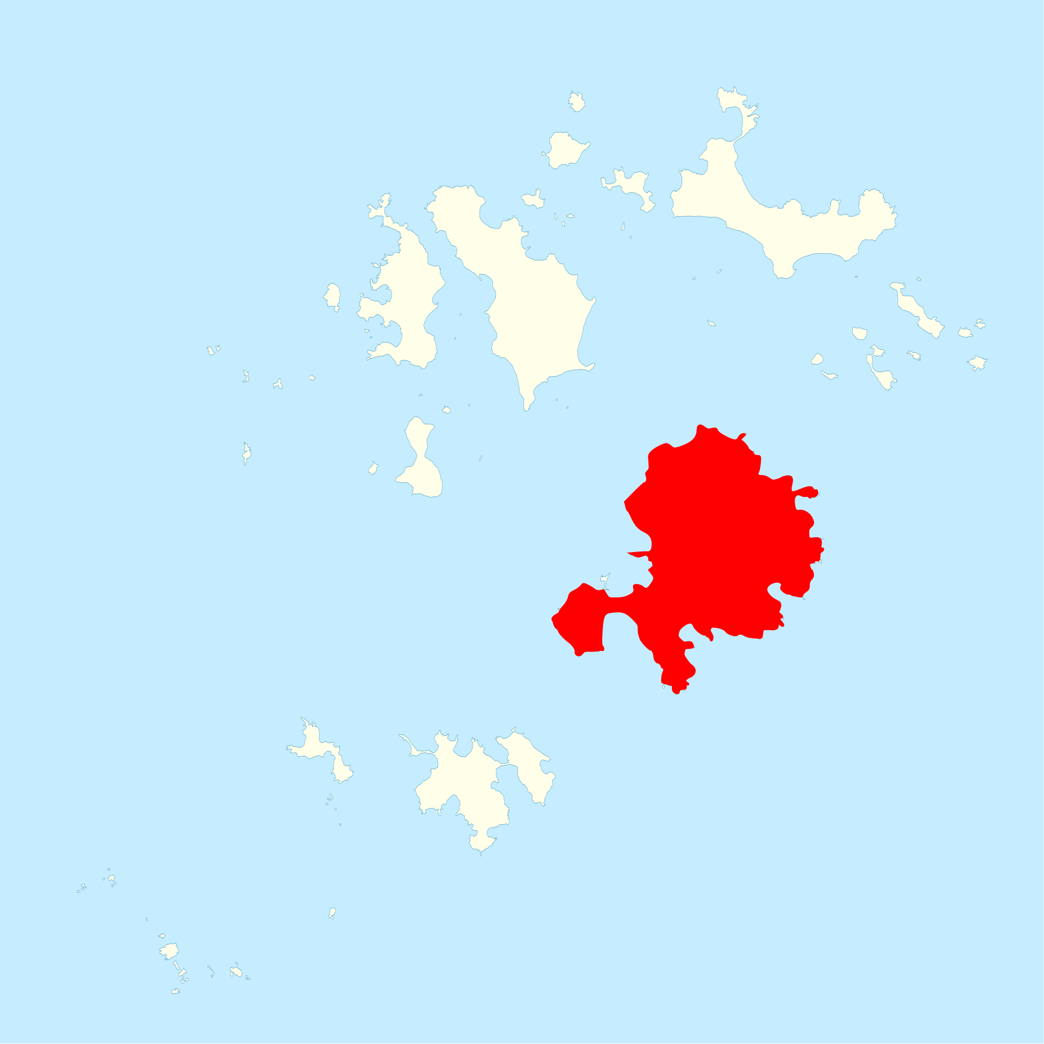
| Description | St Mary's, in the Isles of Scilly | ||||||
| Date | |||||||
| Source | Ordnance Survey OpenData, Boundary-Line product | ||||||
| Author | Ordnance Survey | ||||||
| Permission (Reusing this file) |
|
.svg)
| This is a retouched picture, which means that it has been digitally altered from its original version. Modifications: Highlighted St Mary's. The original can be viewed here: Isles of Scilly UK locator map.svg:
|
File history
Click on a date/time to view the file as it appeared at that time.
| Date/Time | Thumbnail | Dimensions | User | Comment | |
|---|---|---|---|---|---|
| current | 22:31, 28 February 2012 | | 919 × 919 (181 KB) | Hogweard (talk | contribs) | {{Information |Description=St Mary's, in the Isles of Scilly |Source=Ordnance Survey [https://www.ordnancesurvey.co.uk/opendatadownload/products.html OpenData], Boundary-Line product |Date=2010 |Author=Ordnance Survey |Permission={{OS OpenData}} |other... |
You cannot overwrite this file.
File usage on Commons
There are no pages that use this file.
File usage on other wikis
The following other wikis use this file:
- Usage on en.wikipedia.org
- Usage on hu.wikipedia.org
- Usage on ja.wikipedia.org
- Usage on mk.wikipedia.org
- Usage on uk.wikipedia.org