File:St Saviour's Church, Kearsley.jpg
No higher resolution available.
St_Saviour's_Church,_Kearsley.jpg (640 × 480 pixels, file size: 118 KB, MIME type: image/jpeg)
Captions
Captions
Add a one-line explanation of what this file represents
Summary edit
| Description |
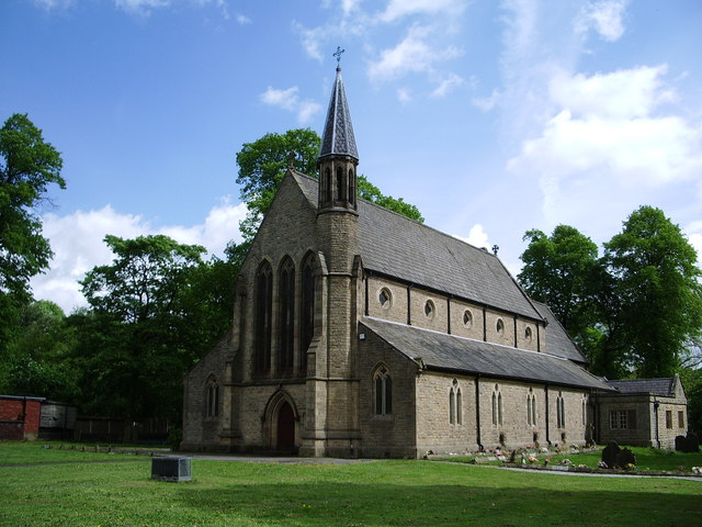
English: St Saviour's parish church, Ringley, Greater Manchester, seen from the west |
| Date | |
| Source | geograph.org.uk |
| Author | Rebecca Moon |
| Camera location | | View this and other nearby images on: OpenStreetMap |
|---|
Licensing edit

|
This image was taken from the Geograph project collection. See this photograph's page on the Geograph website for the photographer's contact details. The copyright on this image is owned by Alexander P Kapp and is licensed for reuse under the Creative Commons Attribution-ShareAlike 2.0 license.
|
This file is licensed under the Creative Commons Attribution-Share Alike 2.0 Generic license.
Attribution: Alexander P Kapp
- You are free:
- to share – to copy, distribute and transmit the work
- to remix – to adapt the work
- Under the following conditions:
- attribution – You must give appropriate credit, provide a link to the license, and indicate if changes were made. You may do so in any reasonable manner, but not in any way that suggests the licensor endorses you or your use.
- share alike – If you remix, transform, or build upon the material, you must distribute your contributions under the same or compatible license as the original.
File history
Click on a date/time to view the file as it appeared at that time.
| Date/Time | Thumbnail | Dimensions | User | Comment | |
|---|---|---|---|---|---|
| current | 21:06, 3 February 2008 | | 640 × 480 (118 KB) | Peter I. Vardy (talk | contribs) | {{Information |Description=Photograph |Source=http://www.geograph.org.uk/photo/429236 |Date=10 May 2007 |Author=Rebecca Moon |Permission= |other_versions= }} {{geograph}} Category:Anglican churches Category:Churches in Lancashire [[Category:Grade |
You cannot overwrite this file.
File usage on Commons
The following 2 pages use this file:
File usage on other wikis
The following other wikis use this file:
- Usage on cy.wikipedia.org
- Usage on en.wikipedia.org
- Civil parishes in Greater Manchester
- Stoneclough
- List of churches in Greater Manchester
- User:Skinsmoke/Sandbox/Civil parishes/Greater Manchester
- List of works by Sharpe and Paley
- List of Commissioners' churches in Northeast and Northwest England
- St Saviour's Church, Ringley
- Ringley
- Listed buildings in Kearsley
- Usage on pl.wikipedia.org
- Usage on www.wikidata.org