File:St Wendel-Auf der Hoheit-20080505-p04.jpg
Size of this preview: 800 × 600 pixels. Other resolutions: 320 × 240 pixels | 640 × 480 pixels | 1,024 × 768 pixels | 1,280 × 960 pixels | 2,560 × 1,920 pixels.
Original file (2,560 × 1,920 pixels, file size: 932 KB, MIME type: image/jpeg)
Captions
Captions
Add a one-line explanation of what this file represents
Summary edit
| Camera location | | View this and other nearby images on: OpenStreetMap |
|---|
| Description |
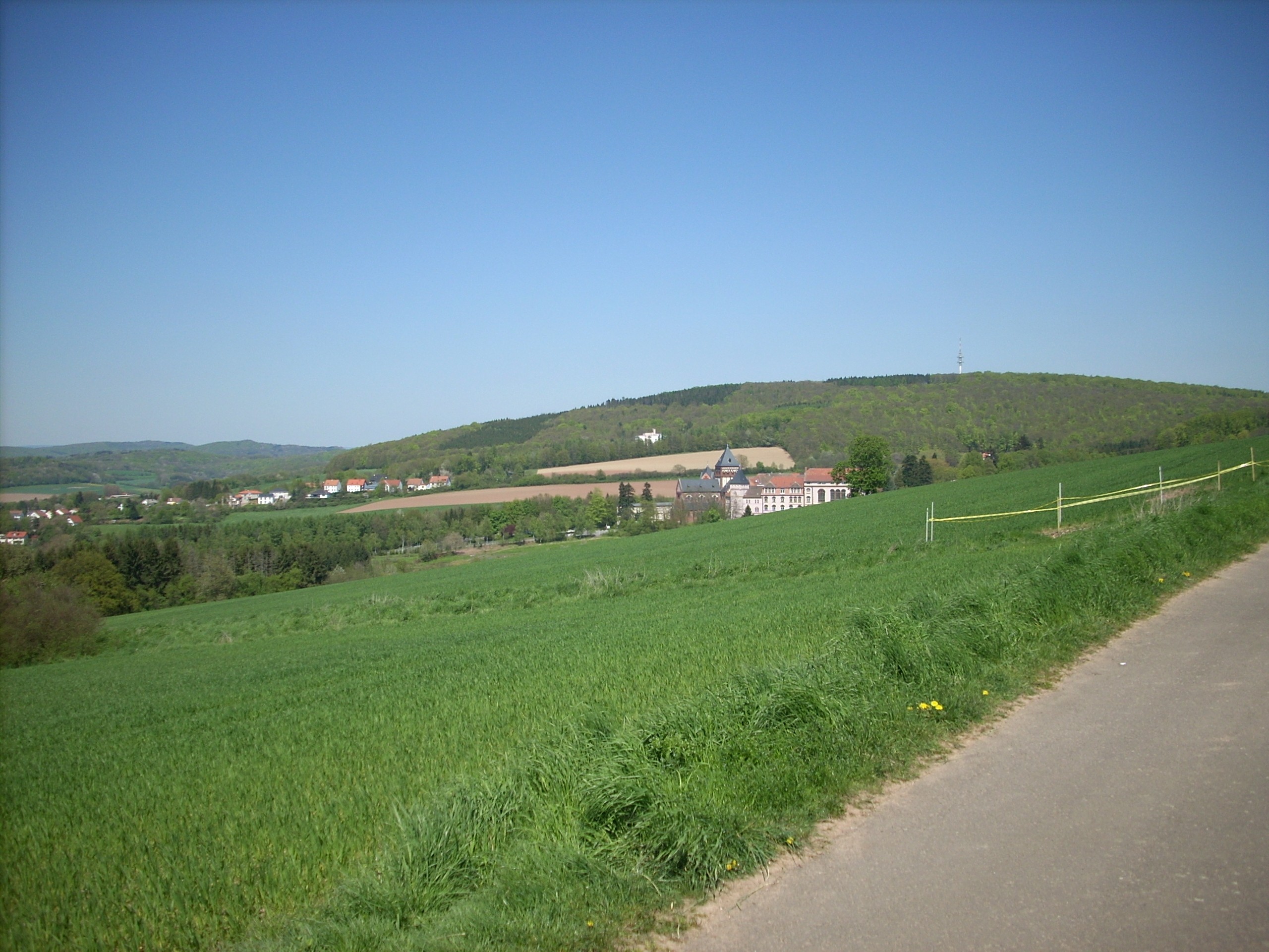
Deutsch: St. Wendel, „Auf der Hoheit“; Teilbild 4 für Panoramaerstellung |
| Date | Taken on 5 May 2008 |
| Source | Own work |
| Author | Speifensender |
| A panoramic scene of the following images (including this one) is also available (see image to the right) | ||
|
|
||


Licensing edit
I, the copyright holder of this work, hereby publish it under the following license:
This file is licensed under the Creative Commons Attribution-Share Alike 3.0 Unported license.
- You are free:
- to share – to copy, distribute and transmit the work
- to remix – to adapt the work
- Under the following conditions:
- attribution – You must give appropriate credit, provide a link to the license, and indicate if changes were made. You may do so in any reasonable manner, but not in any way that suggests the licensor endorses you or your use.
- share alike – If you remix, transform, or build upon the material, you must distribute your contributions under the same or compatible license as the original.
File history
Click on a date/time to view the file as it appeared at that time.
| Date/Time | Thumbnail | Dimensions | User | Comment | |
|---|---|---|---|---|---|
| current | 12:58, 11 May 2008 | | 2,560 × 1,920 (932 KB) | Speifensender (talk | contribs) | {{Information |Description=St. Wendel, "Auf der Hoheit"; Koordinaten: 49° 27' 28" N, 07° 11' 23" E (Teilbild für Panoramaerstellung) |Source=own work |Date=2008-May-05 |Author=Speifensender |Permission= |other_ |
You cannot overwrite this file.
File usage on Commons
The following 9 pages use this file:
- File:St Wendel-Auf der Hoheit-20080505-p01.jpg
- File:St Wendel-Auf der Hoheit-20080505-p02.jpg
- File:St Wendel-Auf der Hoheit-20080505-p03.jpg
- File:St Wendel-Auf der Hoheit-20080505-p04.jpg
- File:St Wendel-Auf der Hoheit-20080505-p05.jpg
- File:St Wendel-Auf der Hoheit-20080505-p06.jpg
- File:St Wendel-Auf der Hoheit-20080505-p07.jpg
- File:St Wendel-Auf der Hoheit-20080505-p08.jpg
- File:St Wendel-Auf der Hoheit-20080505-p09.jpg