File:Stadtpark fuerth osm.png
Size of this preview: 400 × 600 pixels. Other resolutions: 160 × 240 pixels | 450 × 675 pixels.
Original file (450 × 675 pixels, file size: 132 KB, MIME type: image/png)
Captions
Captions
Add a one-line explanation of what this file represents
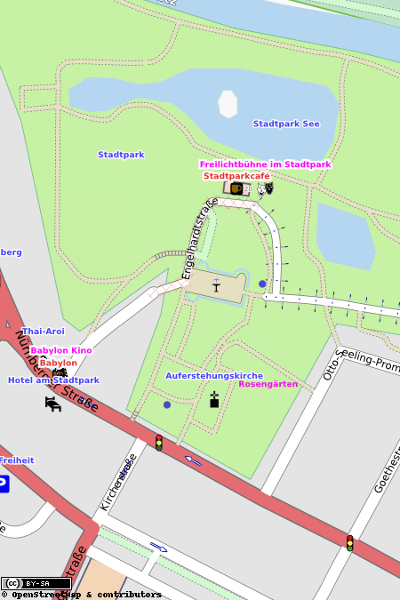
| Description | Map of Stadtpark Fürth. This map may be incomplete, and may contain errors. Don't rely solely on it for navigation. |
| Date | See file history |
| Source | OpenStreetMap data |
| Author | OpenStreetMap contributors |
| Permission (Reusing this file) |
All OpenStreetMap data and maps are Creative Commons "CC-BY-SA 2.0" licensed. This file is licensed under the Creative Commons Attribution-Share Alike 2.0 Generic license.
|
| Object location | | View this and other nearby images on: OpenStreetMap |
|---|
File history
Click on a date/time to view the file as it appeared at that time.
| Date/Time | Thumbnail | Dimensions | User | Comment | |
|---|---|---|---|---|---|
| current | 10:00, 15 September 2009 | | 450 × 675 (132 KB) | Smial (talk | contribs) | {{openstreetmap_render|name=Stadtpark Fürth}} Category:Maps of Fürth Category:Files by User:Smial from de.wikipedia |
You cannot overwrite this file.
File usage on Commons
There are no pages that use this file.
File usage on other wikis
The following other wikis use this file:
- Usage on de.wikipedia.org