File:Straßenbrunnen134 FalkFeld Zweibrücker Straße (5).JPG

Size of this preview: 450 × 600 pixels. Other resolutions: 180 × 240 pixels | 360 × 480 pixels | 576 × 768 pixels | 768 × 1,024 pixels | 1,536 × 2,048 pixels | 3,085 × 4,113 pixels.
Original file (3,085 × 4,113 pixels, file size: 1.78 MB, MIME type: image/jpeg)
Captions
Captions
Add a one-line explanation of what this file represents
Summary
edit.JPG&action=edit§ion=1)
| Description |
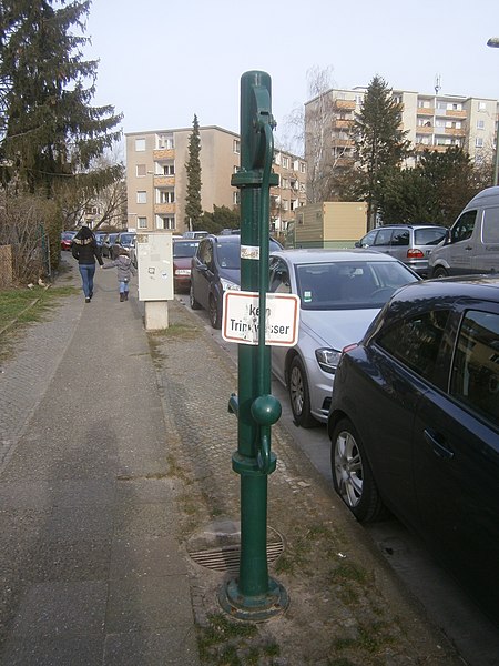
Deutsch: Der Brunnen steht südlich vom Germersheimer Platz an der Nordseite im Straßenbogen der Zweibrücker zur Germersheimer Straße. Diese Straßenführung war durch den südlich folgenden Spektegrünzug bedingt, von der Spektewiese ist der Standort des Brunnens 120 Meter entfernt, getrennt durch die viergeschossige Wohnbebauung. Der Brunnenstandort befindet sich 20 Meter gegenüber zum Hauseingang 12 am Gehsteigrand. Im Juli 2008 stand er noch nicht, wohl ist aber bei der Straßenbefahrung 2014 dann erfasst. Der Ablauf von Pumpwasser wird in einen eigenene Straßeneinlass geleitet. Der „Kein Trinkwasser“-Hinweis befindet sich auf dem Blechschild der Schwengelseite. |
| Date | |
| Source | Own work |
| Author | Boonekamp |
| Camera location | | View this and other nearby images on: OpenStreetMap |
|---|
.JPG¶ms=052.543336_N_0013.187408_E_globe:Earth_type:camera__&language=en)
Licensing
edit.JPG&action=edit§ion=2)
I, the copyright holder of this work, hereby publish it under the following license:
This file is licensed under the Creative Commons Attribution-Share Alike 4.0 International license.
- You are free:
- to share – to copy, distribute and transmit the work
- to remix – to adapt the work
- Under the following conditions:
- attribution – You must give appropriate credit, provide a link to the license, and indicate if changes were made. You may do so in any reasonable manner, but not in any way that suggests the licensor endorses you or your use.
- share alike – If you remix, transform, or build upon the material, you must distribute your contributions under the same or compatible license as the original.
File history
Click on a date/time to view the file as it appeared at that time.
| Date/Time | Thumbnail | Dimensions | User | Comment | |
|---|---|---|---|---|---|
| current | 10:14, 16 March 2020 | | 3,085 × 4,113 (1.78 MB) | Boonekamp (talk | contribs) | {{Information |description ={{de|1=Der Brunnen steht südlich vom Germersheimer Platz an der Nordseite im Straßenbogen der Zweibrücker zur Germersheimer Straße. Diese Straßenführung war durch den südlich folgenden Spektegrünzug bedingt, von der Spektewiese ist der Standort des Brunnens 120 Meter entfernt, getrennt durch die viergeschossige Wohnbebauung. Der Brunnenstandort befindet sich 20 Meter gegenüber zum Hauseingang 12 am Gehsteigrand. Im Juli 2008 stand er noch nicht, wohl ist aber bei... |
You cannot overwrite this file.
File usage on Commons
The following page uses this file:
File usage on other wikis
The following other wikis use this file:
- Usage on de.wikipedia.org
.JPG&oldid=845852017)