File:Straßenbrunnen15 Marzahn Kölpiner Straße (2).JPG
Size of this preview: 530 × 599 pixels. Other resolutions: 212 × 240 pixels | 425 × 480 pixels | 679 × 768 pixels | 906 × 1,024 pixels | 1,812 × 2,048 pixels | 2,822 × 3,190 pixels.
Original file (2,822 × 3,190 pixels, file size: 2.24 MB, MIME type: image/jpeg)
Captions
Captions
Add a one-line explanation of what this file represents
Summary
edit.JPG&action=edit§ion=1)
| Description |
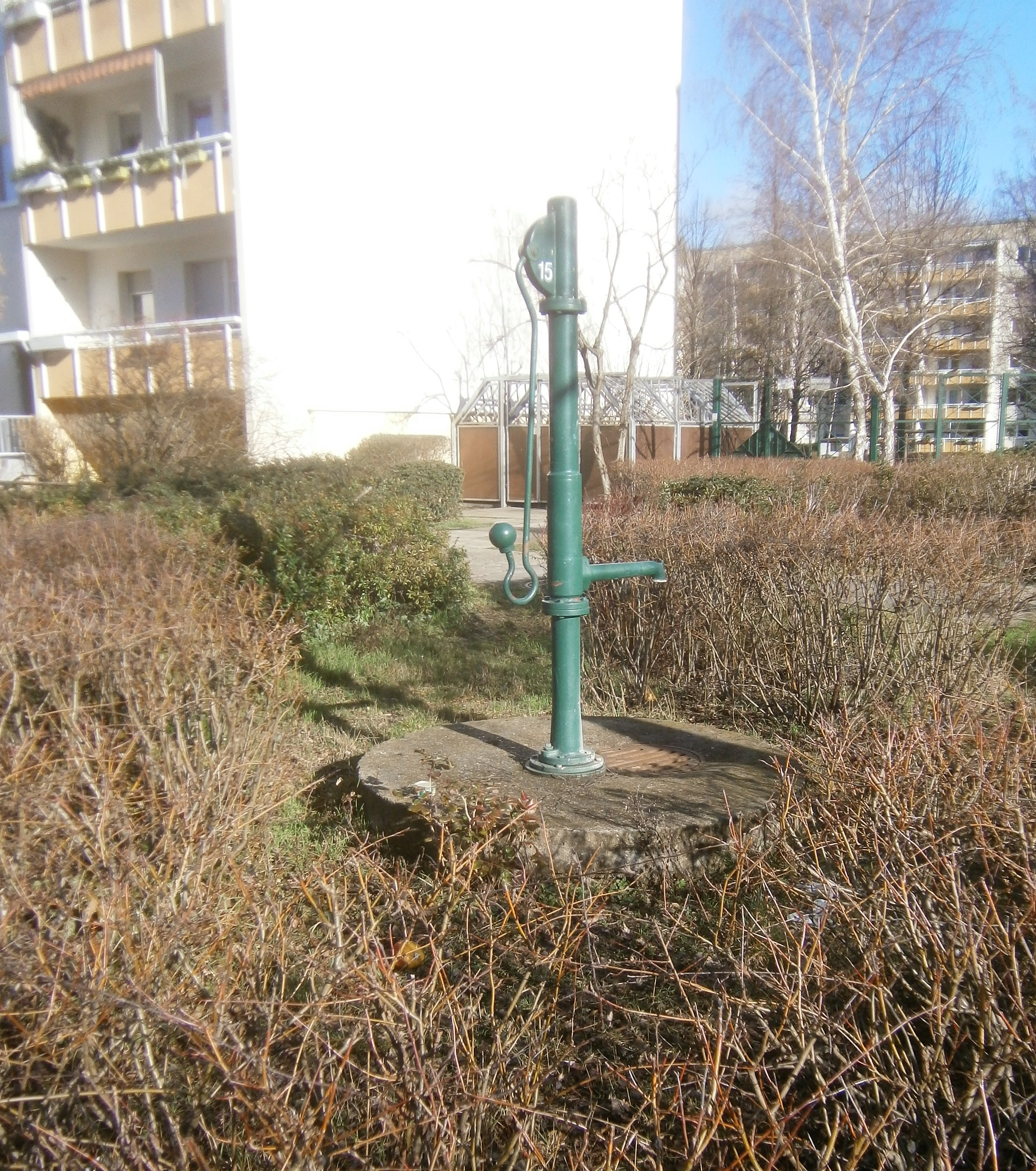
Deutsch: Der Brunnen steht an der Nordwestseite der Kölpiner Straße in Höhe des Durchgangs der beiden hier winklig zueinander stehtenden Häuserblöcke 2–8 und 10–24, wobei die Kölpiner Straße zwei Äste der im Bogen laufenden Golliner Straße verbindet, von der nach Nordwest über einen Grünstreifen 150 Mater die Lanbndesbgrenze entfernt ist. Der Brunnen steht auf einer runden Betonplatte innerhalb einer Strauchfläche mit Birken, mit einem Durchgang zum Schwengel. In der Betonplatte ist unter dem Austritt ein runder Straßenrost eingelassen. Der Brunnen ist betriebsbereit (Februar 2020) und trug keinen Hinweis zum Trinkwasser. |
| Date | |
| Source | Own work |
| Author | Boonekamp |
| Camera location | | View this and other nearby images on: OpenStreetMap |
|---|
.JPG¶ms=052.568046_N_0013.578377_E_globe:Earth_type:camera__&language=en)
Licensing
edit.JPG&action=edit§ion=2)
I, the copyright holder of this work, hereby publish it under the following license:
This file is licensed under the Creative Commons Attribution-Share Alike 4.0 International license.
- You are free:
- to share – to copy, distribute and transmit the work
- to remix – to adapt the work
- Under the following conditions:
- attribution – You must give appropriate credit, provide a link to the license, and indicate if changes were made. You may do so in any reasonable manner, but not in any way that suggests the licensor endorses you or your use.
- share alike – If you remix, transform, or build upon the material, you must distribute your contributions under the same or compatible license as the original.
File history
Click on a date/time to view the file as it appeared at that time.
| Date/Time | Thumbnail | Dimensions | User | Comment | |
|---|---|---|---|---|---|
| current | 12:07, 7 February 2020 | | 2,822 × 3,190 (2.24 MB) | Boonekamp (talk | contribs) | {{Information |description ={{de|1=Der Brunnen steht an der Nordwestseite der Kölpiner Straße in Höhe des Durchgangs der beiden hier winklig zueinander stehtenden Häuserblöcke 2–8 und 10–24, wobei die Kölpiner Straße zwei Äste der im Bogen laufenden Golliner Straße verbindet, von der nach Nordwest über einen Grünstreifen 150 Mater die Lanbndesbgrenze entfernt ist. Der Brunnen steht auf einer runden Betonplatte innerhalb einer Strauchfläche mit Birken, mit einem Durchgang zum Schwengel. In... |
You cannot overwrite this file.
File usage on Commons
The following page uses this file:
File usage on other wikis
The following other wikis use this file:
- Usage on de.wikipedia.org
.JPG&oldid=845851162)