File:Straßenbrunnen63 FalkFeld Freudenberger Weg (12).JPG

Size of this preview: 450 × 600 pixels. Other resolutions: 180 × 240 pixels | 360 × 480 pixels | 576 × 768 pixels | 768 × 1,024 pixels | 1,536 × 2,048 pixels | 3,216 × 4,288 pixels.
Original file (3,216 × 4,288 pixels, file size: 6.83 MB, MIME type: image/jpeg)
Captions
Captions
Add a one-line explanation of what this file represents
Summary
edit.JPG&action=edit§ion=1)
| Description |
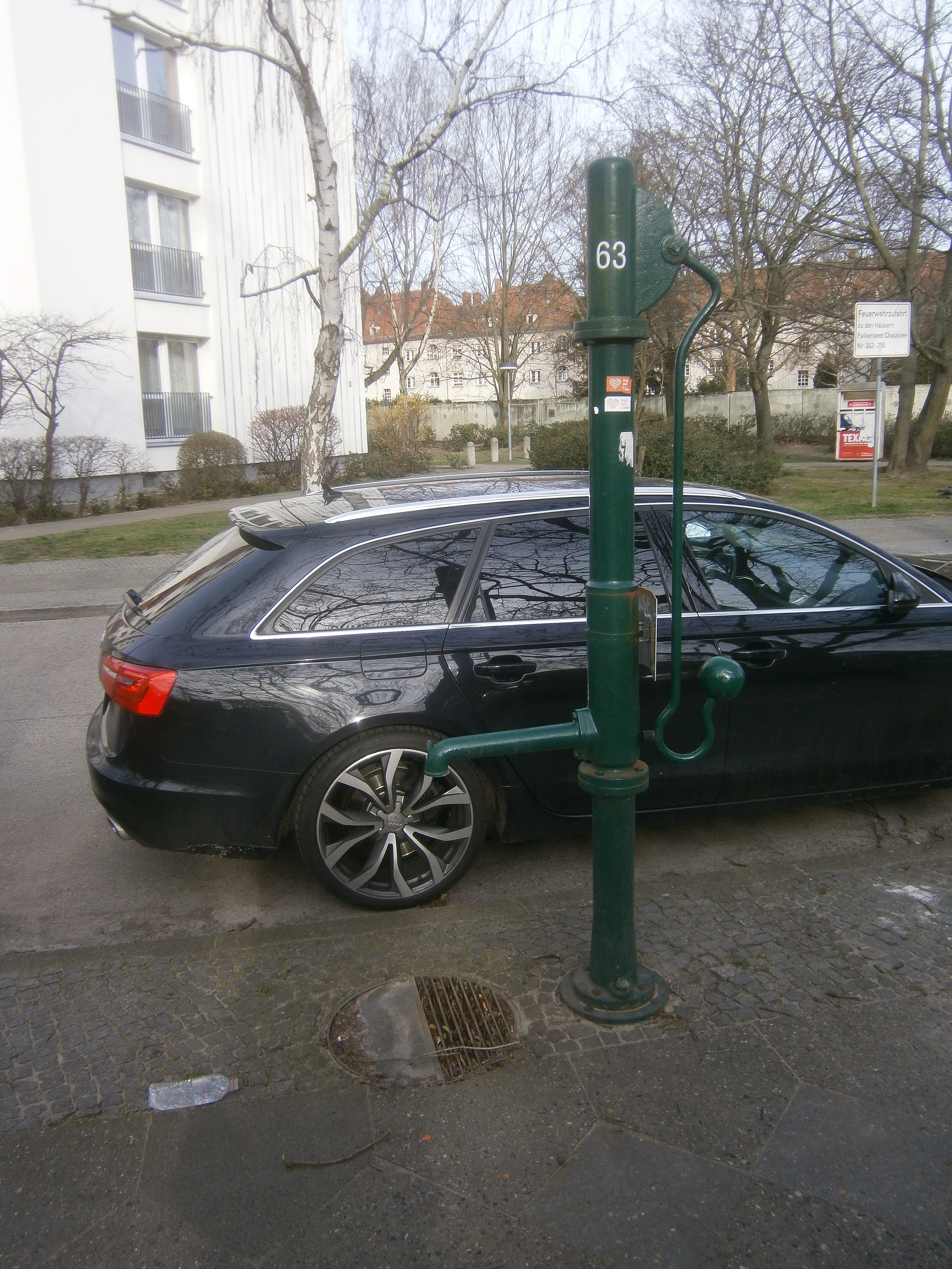
Deutsch: Der Brunnen 63 des Bezirks Spandau steht an der Westseite der Straße (Siedlung westlich der Zeppelinstraße) zwischen dem Abzweig vom Wittgensteiner/ Büschhüttener Weg (50 Meter) und der Wendekehre (70 Meter), von dr sich die Straße als Fußweg fortsetzt. Auf der Brunnenseite befindet sich eine Garagenanlage. Der Brunnen steht im Randstreifen des Gehsteigs und am Fuß befindet sich sein Straßeneinlass. |
| Date | |
| Source | Own work |
| Author | Boonekamp |
| Camera location | | View this and other nearby images on: OpenStreetMap |
|---|
.JPG¶ms=052.545967_N_0013.182506_E_globe:Earth_type:camera__&language=en)
Licensing
edit.JPG&action=edit§ion=2)
I, the copyright holder of this work, hereby publish it under the following license:
This file is licensed under the Creative Commons Attribution-Share Alike 4.0 International license.
- You are free:
- to share – to copy, distribute and transmit the work
- to remix – to adapt the work
- Under the following conditions:
- attribution – You must give appropriate credit, provide a link to the license, and indicate if changes were made. You may do so in any reasonable manner, but not in any way that suggests the licensor endorses you or your use.
- share alike – If you remix, transform, or build upon the material, you must distribute your contributions under the same or compatible license as the original.
File history
Click on a date/time to view the file as it appeared at that time.
| Date/Time | Thumbnail | Dimensions | User | Comment | |
|---|---|---|---|---|---|
| current | 09:31, 16 March 2020 | | 3,216 × 4,288 (6.83 MB) | Boonekamp (talk | contribs) | {{Information |description ={{de|1=Der Brunnen 63 des Bezirks Spandau steht an der Westseite der Straße (Siedlung westlich der Zeppelinstraße) zwischen dem Abzweig vom Wittgensteiner/ Büschhüttener Weg (50 Meter) und der Wendekehre (70 Meter), von dr sich die Straße als Fußweg fortsetzt. Auf der Brunnenseite befindet sich eine Garagenanlage. Der Brunnen steht im Randstreifen des Gehsteigs und am Fuß befindet sich sein Straßeneinlass.}} |date =2020-03-15 |source ={{own}} |aut... |
You cannot overwrite this file.
File usage on Commons
The following page uses this file:
File usage on other wikis
The following other wikis use this file:
- Usage on de.wikipedia.org
.JPG&oldid=845851270)