File:Streckenkarte der Pfälzischen Nordbahn.png
Size of this preview: 454 × 599 pixels. Other resolutions: 182 × 240 pixels | 364 × 480 pixels | 582 × 768 pixels | 776 × 1,024 pixels | 2,117 × 2,793 pixels.
Original file (2,117 × 2,793 pixels, file size: 5 MB, MIME type: image/png)
Captions
Captions
Add a one-line explanation of what this file represents
| Description |
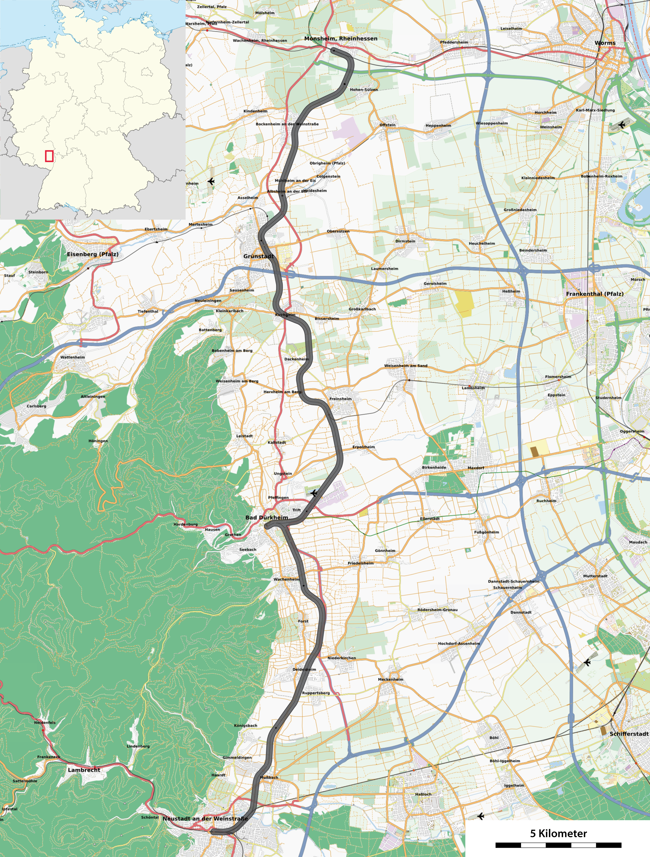
Deutsch: Streckenkarte der Pfälzische Nordbahn |
| Date | see file history |
| Source |
Own work, using
|
| Author | Maximilian Dörrbecker (Chumwa) |
| Permission (Reusing this file) |
All OpenStreetMap data and maps are Creative Commons "CC-BY-SA 2.0" licensed This file is licensed under the Creative Commons Attribution-Share Alike 2.0 Generic license.
|
File history
Click on a date/time to view the file as it appeared at that time.
| Date/Time | Thumbnail | Dimensions | User | Comment | |
|---|---|---|---|---|---|
| current | 20:36, 27 March 2011 | | 2,117 × 2,793 (5 MB) | Chumwa (talk | contribs) | {{Information |Description={{de|Streckenkarte der Pfälzische Nordbahn}} |Author=Maximilian Dörrbecker (Chumwa) |Source={{own}}, using * OpenStreetMap data for the background * [[:F |
You cannot overwrite this file.
File usage on Commons
The following 2 pages use this file:
File usage on other wikis
The following other wikis use this file:
- Usage on de.wikipedia.org
- Usage on en.wikipedia.org
- Usage on nl.wikipedia.org
- Usage on www.wikidata.org