File:Suginami WV banner.jpg
Size of this preview: 798 × 114 pixels. Other resolutions: 320 × 46 pixels | 640 × 91 pixels | 4,128 × 590 pixels.
Original file (4,128 × 590 pixels, file size: 435 KB, MIME type: image/jpeg)
Captions
Captions
Add a one-line explanation of what this file represents
Summary edit
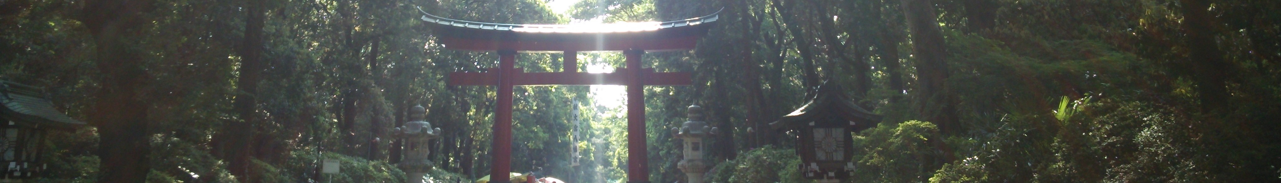
| Description | 大宮八幡宮 |
| Date | |
| Source | 大宮八幡宮 |
| Author | Miles Bader from Tokyo, Japan |
| Camera location | | View this and other nearby images on: OpenStreetMap |
|---|
Licensing edit
This file is licensed under the Creative Commons Attribution 2.0 Generic license.
- You are free:
- to share – to copy, distribute and transmit the work
- to remix – to adapt the work
- Under the following conditions:
- attribution – You must give appropriate credit, provide a link to the license, and indicate if changes were made. You may do so in any reasonable manner, but not in any way that suggests the licensor endorses you or your use.
.jpg)
File history
Click on a date/time to view the file as it appeared at that time.
| Date/Time | Thumbnail | Dimensions | User | Comment | |
|---|---|---|---|---|---|
| current | 18:01, 29 October 2015 | 4,128 × 590 (435 KB) | ויקיג'אנקי (talk | contribs) | File:大宮八幡宮 (9436750590).jpg cropped 81 % vertically using CropTool with precise mode. |
You cannot overwrite this file.
File usage on Commons
There are no pages that use this file.
File usage on other wikis
The following other wikis use this file:
- Usage on en.wikivoyage.org
- Usage on fr.wikivoyage.org
- Usage on it.wikivoyage.org
- Usage on ja.wikivoyage.org
- Usage on nl.wikivoyage.org
- Usage on pt.wikivoyage.org
- Usage on www.wikidata.org
- Usage on zh.wikivoyage.org