File:Suzuki Thunder 125.jpg

Size of this preview: 800 × 600 pixels. Other resolutions: 320 × 240 pixels | 640 × 480 pixels | 1,024 × 768 pixels | 1,280 × 960 pixels | 2,048 × 1,536 pixels.
Original file (2,048 × 1,536 pixels, file size: 650 KB, MIME type: image/jpeg)
Captions
Captions
Add a one-line explanation of what this file represents
Summary edit
| Description |
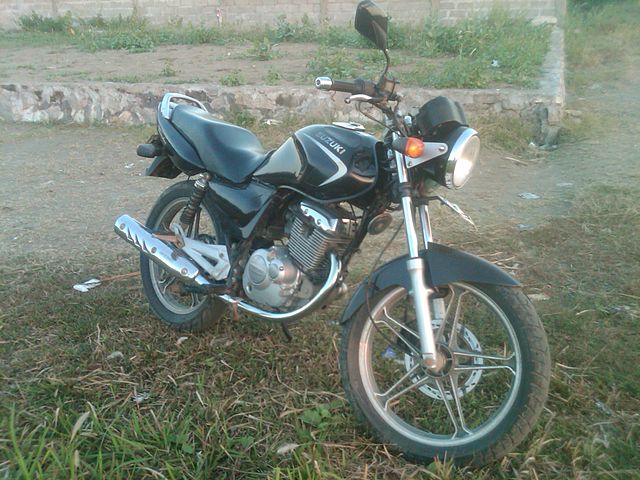
Bahasa Indonesia: Suzuki Thunder 125 |
| Date | 19 June 2011 (according to Exif data) |
| Source | Own work |
| Author | User:Bkusmono |
| Camera location | | View this and other nearby images on: OpenStreetMap |
|---|
Licensing edit
| This work has been released into the public domain by its author, Bkusmono. This applies worldwide. In some countries this may not be legally possible; if so: |
Original upload log edit
Transferred from id.wikipedia to Commons using For the Common Good.
The original description page was here. All following user names refer to id.wikipedia.
| Date/Time | Dimensions | User | Comment |
|---|---|---|---|
| 18:29, 18 September 2011 | 2,048 × 1,536 (665,831 bytes) | w:id:Bkusmono (talk | contribs) | () |
File history
Click on a date/time to view the file as it appeared at that time.
| Date/Time | Thumbnail | Dimensions | User | Comment | |
|---|---|---|---|---|---|
| current | 18:30, 11 July 2013 | | 2,048 × 1,536 (650 KB) | Iwan Novirion (talk | contribs) | Transferred from id.wikipedia: see original upload log above |
You cannot overwrite this file.
File usage on Commons
The following page uses this file:
File usage on other wikis
The following other wikis use this file:
- Usage on de.wikipedia.org
- Usage on id.wikipedia.org
- Usage on www.wikidata.org