File:Tagawa in 2005-06.jpg
Size of this preview: 800 × 600 pixels. Other resolutions: 320 × 240 pixels | 640 × 480 pixels | 1,024 × 768 pixels | 1,280 × 960 pixels | 2,304 × 1,728 pixels.
Original file (2,304 × 1,728 pixels, file size: 1.65 MB, MIME type: image/jpeg)
Captions
Captions
Add a one-line explanation of what this file represents
Summary edit
| Description |
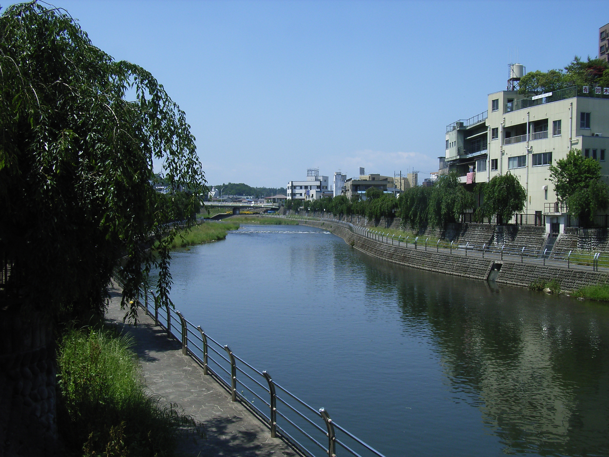
English: Ta River (Tagawa). Utsunomiya, Tochgi prefecture, Japan. From the Saiwai Bridge.
Español: El Río Ta (Tagawa). Utsunomiya, la prefectura de Tochigi, Japón. Desde el Puente Saiwai.
|
| Date | |
| Source | Own work |
| Author | Kinori |
| Camera location | | View this and other nearby images on: OpenStreetMap |
|---|
Licensing edit
| I, the copyright holder of this work, release this work into the public domain. This applies worldwide. In some countries this may not be legally possible; if so: I grant anyone the right to use this work for any purpose, without any conditions, unless such conditions are required by law. |
File history
Click on a date/time to view the file as it appeared at that time.
| Date/Time | Thumbnail | Dimensions | User | Comment | |
|---|---|---|---|---|---|
| current | 12:41, 18 April 2009 | | 2,304 × 1,728 (1.65 MB) | Kinori (talk | contribs) | {{Information |Description={{en|1=Ta River (Tagawa). Utsunomiya, Tochgi prefecture, Japan. From the Saiwai Bridge.}} {{es|1=El Río Ta (Tagawa). es:Utsunomiya, la prefectura de Tochigi, Japón. Desde el Puente Saiwai.}} { |
You cannot overwrite this file.
File usage on Commons
The following page uses this file:
File usage on other wikis
The following other wikis use this file:
- Usage on ceb.wikipedia.org
- Usage on ja.wikipedia.org
- Usage on www.wikidata.org