File:Talbrücke Pfeddersheim Luftbild.jpg
Size of this preview: 800 × 330 pixels. Other resolutions: 320 × 132 pixels | 640 × 264 pixels | 1,024 × 422 pixels | 1,280 × 527 pixels | 3,141 × 1,294 pixels.
Original file (3,141 × 1,294 pixels, file size: 3.05 MB, MIME type: image/jpeg)
Captions
Captions
Add a one-line explanation of what this file represents
Summary edit
| Description |
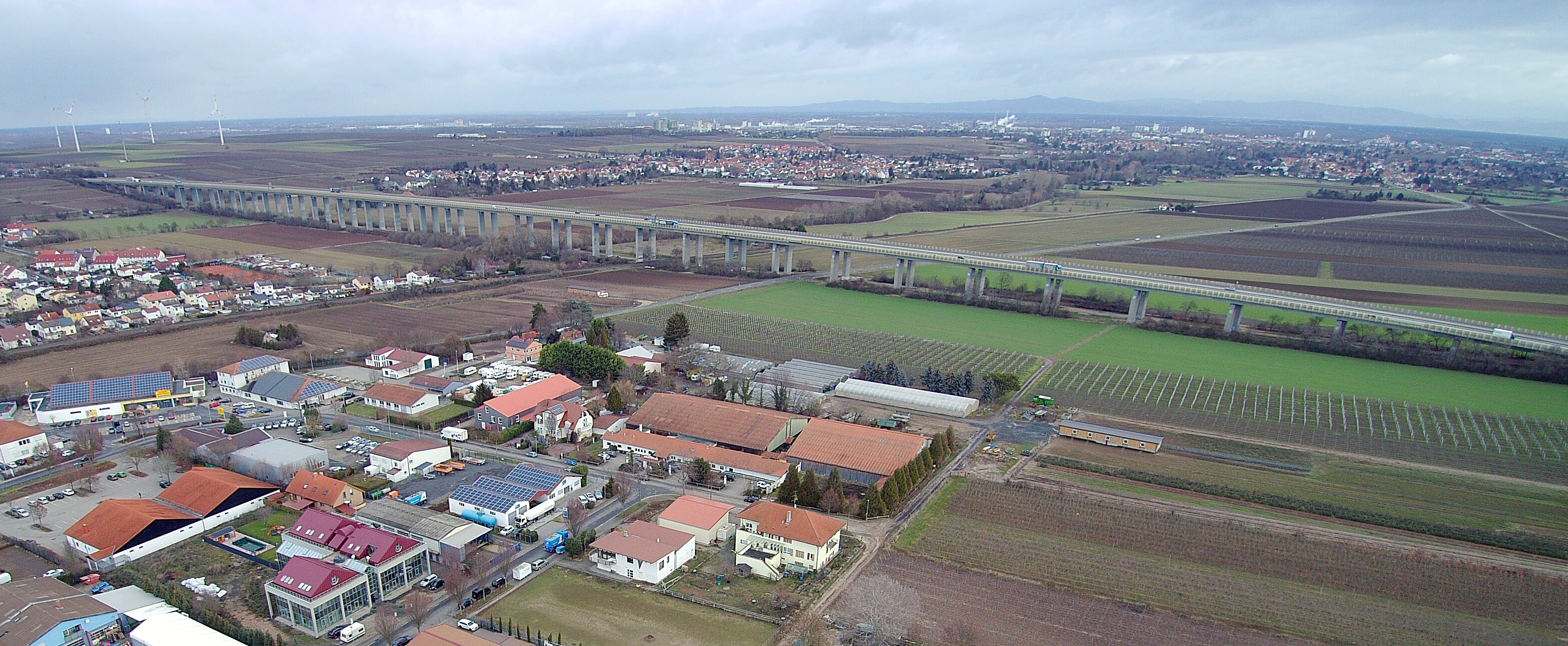
English: Talbruecke Pfeddersheim (view from the air) |
| Date | |
| Source | Own work |
| Author | Hexakopter |
| Camera location | | View this and other nearby images on: OpenStreetMap |
|---|
Licensing edit
I, the copyright holder of this work, hereby publish it under the following license:
This file is licensed under the Creative Commons Attribution-Share Alike 4.0 International license.
- You are free:
- to share – to copy, distribute and transmit the work
- to remix – to adapt the work
- Under the following conditions:
- attribution – You must give appropriate credit, provide a link to the license, and indicate if changes were made. You may do so in any reasonable manner, but not in any way that suggests the licensor endorses you or your use.
- share alike – If you remix, transform, or build upon the material, you must distribute your contributions under the same or compatible license as the original.
File history
Click on a date/time to view the file as it appeared at that time.
| Date/Time | Thumbnail | Dimensions | User | Comment | |
|---|---|---|---|---|---|
| current | 15:33, 9 January 2019 | 3,141 × 1,294 (3.05 MB) | Hexakopter (talk | contribs) | User created page with UploadWizard |
You cannot overwrite this file.
File usage on Commons
The following 2 pages use this file:
File usage on other wikis
The following other wikis use this file:
- Usage on de.wikipedia.org