File:Terra Nova e Labrador 04.png

Size of this preview: 800 × 539 pixels. Other resolutions: 320 × 216 pixels | 640 × 431 pixels | 1,024 × 690 pixels | 1,264 × 852 pixels.
Original file (1,264 × 852 pixels, file size: 1.69 MB, MIME type: image/png)
Captions
Captions
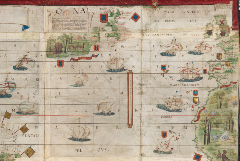
Map of Newfoundland and Labrador
Summary edit
| Description |
Português: Atlas náutico do mundo dito de Mille, de 1519, no qual aparece a costa leste do Canadá como domínio português.
English: Mille's Nautical Atlas of the Said World, from 1519, in which the east coast of Canada appears as a Portuguese domain.
Español: Atlas Náutico de Mille, de 1519, en el que la costa este de Canadá aparece como dominio portugués.
Français : L'Atlas nautique du monde dit de Mille, de 1519, dans lequel la côte est du Canada apparaît comme un domaine portugais. |
| Date | |
| Source | Atlas náutico do mundo dito de Mille. 1519. |
| Author | Mille |
Licensing edit
| This file is made available under the Creative Commons CC0 1.0 Universal Public Domain Dedication. | |
| The person who associated a work with this deed has dedicated the work to the public domain by waiving all of their rights to the work worldwide under copyright law, including all related and neighboring rights, to the extent allowed by law. You can copy, modify, distribute and perform the work, even for commercial purposes, all without asking permission.
|
File history
Click on a date/time to view the file as it appeared at that time.
| Date/Time | Thumbnail | Dimensions | User | Comment | |
|---|---|---|---|---|---|
| current | 21:42, 2 August 2021 | | 1,264 × 852 (1.69 MB) | Jhonatan Gomes Diniz (talk | contribs) | Uploaded a work by Mille from Atlas náutico do mundo dito de Mille. 1519. with UploadWizard |
You cannot overwrite this file.
File usage on Commons
There are no pages that use this file.