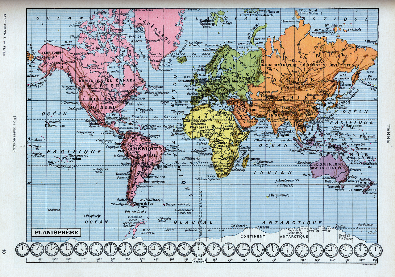
File:Terre Planisphère (carte du monde fuseau horaire) World map with time zones. Public domain illustration from Larousse du XXème siècle 1932.png

Size of this preview: 800 × 562 pixels. Other resolutions: 320 × 225 pixels | 640 × 449 pixels | 1,024 × 719 pixels | 1,280 × 899 pixels | 2,560 × 1,798 pixels | 5,906 × 4,147 pixels.
Original file (5,906 × 4,147 pixels, file size: 51.98 MB, MIME type: image/png)
Captions
Captions
Add a one-line explanation of what this file represents
Summary edit
_World_map_with_time_zones._Public_domain_illustration_from_Larousse_du_XX%C3%A8me_si%C3%A8cle_1932.png&action=edit§ion=1)
| Description |
English: Public domain colour illustration plate from the French encyclopedia Larousse du XXème siècle 1932:
|
| Date | |
| Source | https://www.flickr.com/photos/149521109@N03/30866962460/ |
| Author | EN NOIR & BLANC |
Licensing edit
_World_map_with_time_zones._Public_domain_illustration_from_Larousse_du_XX%C3%A8me_si%C3%A8cle_1932.png&action=edit§ion=2)
| This file is made available under the Creative Commons CC0 1.0 Universal Public Domain Dedication. | |
| The person who associated a work with this deed has dedicated the work to the public domain by waiving all of their rights to the work worldwide under copyright law, including all related and neighboring rights, to the extent allowed by law. You can copy, modify, distribute and perform the work, even for commercial purposes, all without asking permission.
|
| This image was originally posted to Flickr by EN NOIR & BLANC at https://flickr.com/photos/149521109@N03/30866962460. It was reviewed on 17 June 2022 by FlickreviewR 2 and was confirmed to be licensed under the terms of the cc-zero. |
File history
Click on a date/time to view the file as it appeared at that time.
| Date/Time | Thumbnail | Dimensions | User | Comment | |
|---|---|---|---|---|---|
| current | 11:32, 17 June 2022 | | 5,906 × 4,147 (51.98 MB) | Wolfmann (talk | contribs) | Uploaded a work by EN NOIR & BLANC from https://www.flickr.com/photos/149521109@N03/30866962460/ with UploadWizard |
You cannot overwrite this file.
File usage on Commons
The following page uses this file:
_World_map_with_time_zones._Public_domain_illustration_from_Larousse_du_XXème_siècle_1932.png&oldid=846889615)