File:Territorios Perdidos por Mexico.PNG

Size of this preview: 673 × 599 pixels. Other resolutions: 270 × 240 pixels | 539 × 480 pixels | 863 × 768 pixels | 1,068 × 951 pixels.
Original file (1,068 × 951 pixels, file size: 138 KB, MIME type: image/png)
Captions
Captions
Add a one-line explanation of what this file represents
Summary edit
| Description |
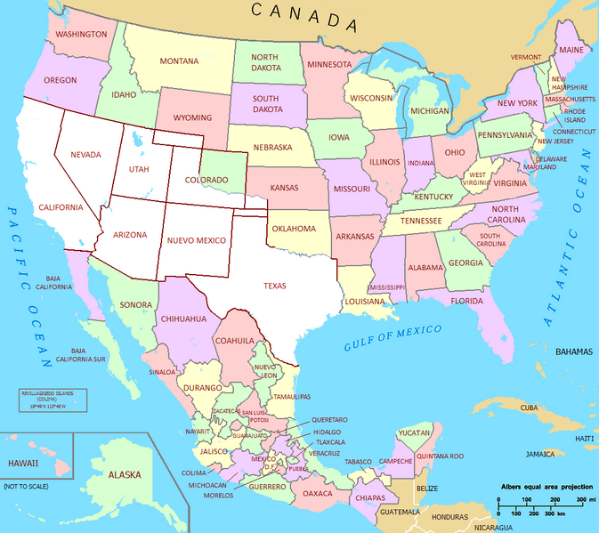
English: Mexico's Lost Territories
Español: Territorios Perdidos por Mexico |
| Date | |
| Source | Own work |
| Author | Hpav7 |
| Other versions | US-Mexico Union por Jaimiko (solo trace los limites antiguos de Mexico) |
Licensing edit
| I, the copyright holder of this work, release this work into the public domain. This applies worldwide. In some countries this may not be legally possible; if so: I grant anyone the right to use this work for any purpose, without any conditions, unless such conditions are required by law. |
File history
Click on a date/time to view the file as it appeared at that time.
| Date/Time | Thumbnail | Dimensions | User | Comment | |
|---|---|---|---|---|---|
| current | 02:36, 21 September 2011 | | 1,068 × 951 (138 KB) | Hpav7 (talk | contribs) | reparados errores |
| 02:32, 21 September 2011 |  | 1,068 × 951 (138 KB) | Hpav7 (talk | contribs) | Ajustes en las fronteras | |
| 06:33, 26 November 2009 |  | 1,068 × 951 (138 KB) | Hpav7 (talk | contribs) | {{Information |Description={{en|1=Mexico's Lost Territories}} {{es|1=Territorios Perdidos por Mexico}} |Source={{own}} |Author=Hpav7 |Date=26 de Noviembre de 2009 |Permission= |other_versions=US-Mexico Union por Jaimiko (solo trace los limi |
You cannot overwrite this file.
File usage on Commons
There are no pages that use this file.
File usage on other wikis
The following other wikis use this file:
- Usage on es.wikipedia.org
- Usage on pt.wikipedia.org