File:Teruel-loc.svg

Size of this PNG preview of this SVG file: 512 × 444 pixels. Other resolutions: 277 × 240 pixels | 554 × 480 pixels | 886 × 768 pixels | 1,181 × 1,024 pixels | 2,362 × 2,048 pixels.
Original file (SVG file, nominally 512 × 444 pixels, file size: 817 KB)
Captions
Captions
Add a one-line explanation of what this file represents
Summary edit
| Description |
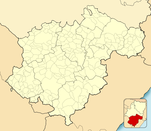
English: Location map of Province of Teruel
Equirectangular projection, N/S stretching 130 %. Geographic limits of the map:
Español: Mapa de localización de la Provincia de Teruel
Proyección equirrectangular (cilíndrica equidistante), N/S estirada 130 %. Límites geográficos del mapa:
|
|
| Date | ||
| Source | Own work based on: EspañaLoc.svg by HansenBCN | |
| Author | Miguillen | |
| SVG development |
|
Licensing edit
Miguillen, the copyright holder of this work, hereby publishes it under the following license:
This file is licensed under the Creative Commons Attribution-Share Alike 3.0 Unported license.
Attribution: Miguillen
- You are free:
- to share – to copy, distribute and transmit the work
- to remix – to adapt the work
- Under the following conditions:
- attribution – You must give appropriate credit, provide a link to the license, and indicate if changes were made. You may do so in any reasonable manner, but not in any way that suggests the licensor endorses you or your use.
- share alike – If you remix, transform, or build upon the material, you must distribute your contributions under the same or compatible license as the original.
File history
Click on a date/time to view the file as it appeared at that time.
| Date/Time | Thumbnail | Dimensions | User | Comment | |
|---|---|---|---|---|---|
| current | 15:00, 11 December 2010 | | 512 × 444 (817 KB) | Miguillen (talk | contribs) | quito defectos de línea |
| 17:53, 8 December 2010 |  | 512 × 444 (826 KB) | Miguillen (talk | contribs) | colores | |
| 14:45, 16 November 2010 |  | 512 × 444 (452 KB) | Miguillen (talk | contribs) | == {{int:filedesc}} == {{Information |Description={{en|Location map of Province of Teruel}} Equirectangular projection, N/S stretching 130 %. Geographic limits of the map: * N: ° N * S: ° N * W: ° O * E: ° O {{es|Mapa d |
You cannot overwrite this file.
File usage on Commons
The following 2 pages use this file:
File usage on other wikis
The following other wikis use this file:
- Usage on ba.wikipedia.org
- Usage on eo.wikipedia.org
- Híjar
- Cella (Teruelo)
- Calanda
- Guadalaviar (Teruelo)
- Villar del Cobo
- Griegos
- Tramacastilla
- Torres de Albarracín
- Royuela
- Calomarde
- Frías de Albarracín
- Moscardón
- Terriente
- Toril y Masegoso
- Valdecuenca
- Saldón
- Bezas
- Rubiales
- Jabaloyas
- Gea de Albarracín
- Noguera de Albarracín
- Ŝablono:Situo sur mapo Hispanio Provinco Teruelo
- Bronchales
- Orihuela del Tremedal
- Monterde de Albarracín
- Pozondón
- Ródenas
- El Vallecillo
- Celadas
- Villarquemado
- Santa Eulalia del Campo
- Torremocha de Jiloca
- Torrelacárcel
- Alba (Teruelo)
- Almohaja
- Aguatón
- Argente
- Visiedo
- Camañas
- Lidón
- Cuevas Labradas
- Peralejos
- Alfambra
- Orrios
- Perales del Alfambra
- Fuentes Calientes
- Rillo
- Pancrudo
- Alpeñés
View more global usage of this file.