File:The "Jubilee" microdistrict - panoramio (2).jpg
Size of this preview: 400 × 600 pixels. Other resolutions: 160 × 240 pixels | 320 × 480 pixels | 512 × 768 pixels | 682 × 1,024 pixels | 2,362 × 3,543 pixels.
Original file (2,362 × 3,543 pixels, file size: 2.93 MB, MIME type: image/jpeg)
Captions
Captions
Add a one-line explanation of what this file represents
Summary edit
.jpg&action=edit§ion=1)
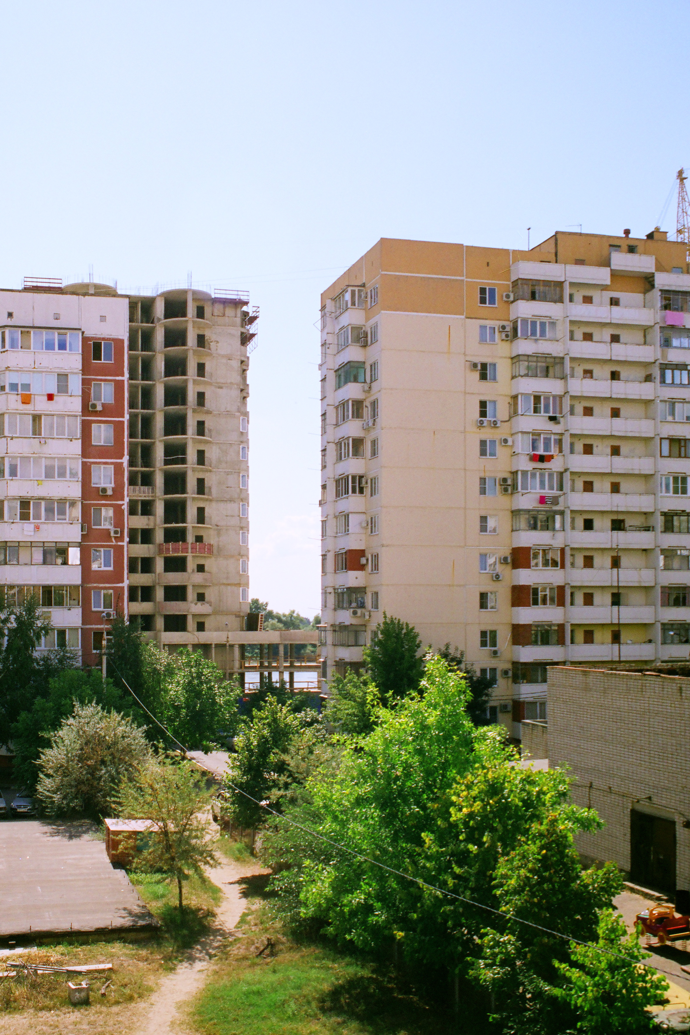
| Description | Jubilee microdistrict | ||
| Date | Taken on 20 September 2011 | ||
| Source | https://web.archive.org/web/20161021020238/http://www.panoramio.com/photo/59281756 | ||
| Author | Alexey Komarov | ||
| Permission (Reusing this file) |
This file is licensed under the Creative Commons Attribution 3.0 Unported license. Attribution: Alexey Komarov
|
||
| Tags (from Panoramio photo page) | Krasnodar, 2011sep, Krasnodar |
| Camera location | | View this and other nearby images on: OpenStreetMap |
|---|
.jpg¶ms=045.026423_N_0038.907775_E_globe:Earth_type:camera_source:Panoramio_&language=en)
File history
Click on a date/time to view the file as it appeared at that time.
| Date/Time | Thumbnail | Dimensions | User | Comment | |
|---|---|---|---|---|---|
| current | 17:39, 12 December 2016 | | 2,362 × 3,543 (2.93 MB) | Panoramio upload bot (talk | contribs) | == {{int:filedesc}} == {{Information |description=The "Jubilee" microdistrict |date={{Original upload date|2011-09-20}} |source=http://www.panoramio.com/photo/59281756 |author=[http://www.panoramio.com/user/1770775?with_photo_id=59281756 Alexey Komarov... |
You cannot overwrite this file.
File usage on Commons
There are no pages that use this file.
.jpg&oldid=828525097)