File:The Heather Place Park, Upper Glasgow, Pa..JPG

Size of this preview: 800 × 598 pixels. Other resolutions: 320 × 239 pixels | 640 × 478 pixels | 1,024 × 765 pixels | 1,280 × 956 pixels | 2,592 × 1,936 pixels.
Original file (2,592 × 1,936 pixels, file size: 2.53 MB, MIME type: image/jpeg)
Captions
Captions
Add a one-line explanation of what this file represents
Summary edit
| Description |
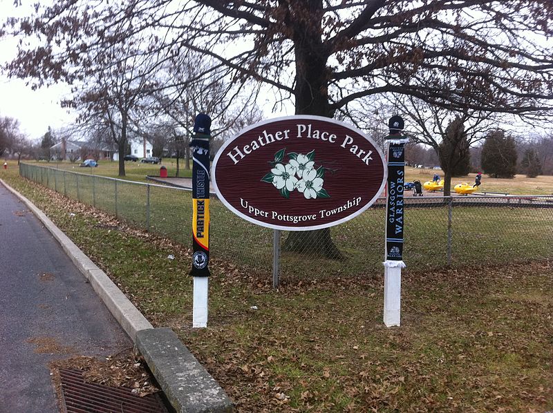
English: Heather Place Park, Upper Glasgow,Pa |
||
| Date | |||
| Source | Own work | ||
| Author | S.MacMillen | ||
| Permission (Reusing this file) |
|
| Camera location | | View this and other nearby images on: OpenStreetMap |
|---|
17 Heather Place Park, Upper Pottsgrove Township, Montgomery County, Pa. The Scarf on the Left is Partick Thistle Football Club, The Scarf on the Right is Glasgow Warriors Rugby Club. GPS = N40 16.710 W075 38.800. Upper Glasgow is North of Glasgow, East of Limekiln, West of Hilltown and South of Red Hill, Pa.
Licensing edit
I, the copyright holder of this work, hereby publish it under the following license:
| This file is made available under the Creative Commons CC0 1.0 Universal Public Domain Dedication. | |
| The person who associated a work with this deed has dedicated the work to the public domain by waiving all of their rights to the work worldwide under copyright law, including all related and neighboring rights, to the extent allowed by law. You can copy, modify, distribute and perform the work, even for commercial purposes, all without asking permission.
|
File history
Click on a date/time to view the file as it appeared at that time.
| Date/Time | Thumbnail | Dimensions | User | Comment | |
|---|---|---|---|---|---|
| current | 06:15, 27 January 2012 | | 2,592 × 1,936 (2.53 MB) | Pattycaledonia (talk | contribs) | {{Information |Description ={{en|1=Heather Place Park, Upper Glasgow,Pa}} |Source ={{own}} |Author =S.MacMillen |Date =2012-01-11 15:58 |Permission ={{PD-Self}} |other_versions =none }} 17 Heather Place Park, Upper Pottsgr |
You cannot overwrite this file.
File usage on Commons
There are no pages that use this file.