File:The Medway - geograph.org.uk - 28351.jpg
No higher resolution available.
The_Medway_-_geograph.org.uk_-_28351.jpg (640 × 480 pixels, file size: 57 KB, MIME type: image/jpeg)
Captions
Captions
Add a one-line explanation of what this file represents
Summary edit
| Description |
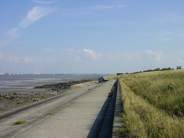
English: The Medway. Looking south along the shore near Grain. The area between the river/sea/estuary and Grain village is rough grassland and scrub with a few large trees. The earthworks and some remains of Grain Fort and Dummy Battery can be seen (part of the 19th century Chatham Defences). |
| Date | |
| Source | From geograph.org.uk |
| Author | Penny Mayes |
| Attribution (required by the license) | Penny Mayes / The Medway / |
| Camera location | | View this and other nearby images on: OpenStreetMap |
|---|
_heading:157.00&language=en)
| Object location | | View this and other nearby images on: OpenStreetMap |
|---|
_heading:157.00&language=en)
Licensing edit

|
This image was taken from the Geograph project collection. See this photograph's page on the Geograph website for the photographer's contact details. The copyright on this image is owned by Penny Mayes and is licensed for reuse under the Creative Commons Attribution-ShareAlike 2.0 license.
|
This file is licensed under the Creative Commons Attribution-Share Alike 2.0 Generic license.
Attribution: Penny Mayes
- You are free:
- to share – to copy, distribute and transmit the work
- to remix – to adapt the work
- Under the following conditions:
- attribution – You must give appropriate credit, provide a link to the license, and indicate if changes were made. You may do so in any reasonable manner, but not in any way that suggests the licensor endorses you or your use.
- share alike – If you remix, transform, or build upon the material, you must distribute your contributions under the same or compatible license as the original.
File history
Click on a date/time to view the file as it appeared at that time.
| Date/Time | Thumbnail | Dimensions | User | Comment | |
|---|---|---|---|---|---|
| current | 05:25, 30 January 2010 | | 640 × 480 (57 KB) | GeographBot (talk | contribs) | == {{int:filedesc}} == {{Information |description={{en|1=The Medway. Looking south along the shore near Grain. The area between the river/sea/estuary and Grain village is rough grassland and scrub with a few large trees. The earthworks and some remains of |
You cannot overwrite this file.
File usage on Commons
There are no pages that use this file.