File:The eastern side of Derry Cairngorm - geograph.org.uk - 777220.jpg
Size of this preview: 800 × 533 pixels. Other resolutions: 320 × 213 pixels | 640 × 426 pixels | 1,024 × 682 pixels.
Original file (1,024 × 682 pixels, file size: 956 KB, MIME type: image/jpeg)
Captions
Captions
Add a one-line explanation of what this file represents
Summary edit
| Description |
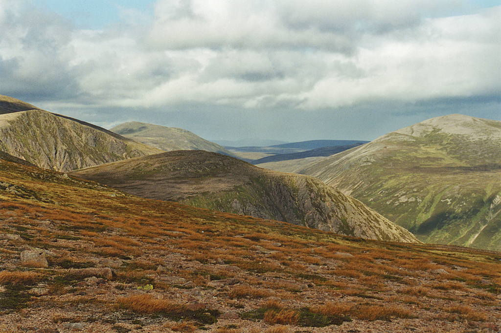
English: The eastern side of Derry Cairngorm Looking across the moderate slopes south east of the summit ridge, with the outlying top of Sgurr an Lochain Uaine beyond. Further away, Stob Coire Etchechan can be seen on the left and Beinn a' Chaorainn on the right, with Bynack More in the distance. |
| Date | |
| Source | From geograph.org.uk |
| Author | Nigel Brown |
| Attribution (required by the license) | Nigel Brown / The eastern side of Derry Cairngorm / |
| Camera location | | View this and other nearby images on: OpenStreetMap |
|---|
_heading:22.00&language=en)
| Object location | | View this and other nearby images on: OpenStreetMap |
|---|
_heading:22.00&language=en)
Licensing edit

|
This image was taken from the Geograph project collection. See this photograph's page on the Geograph website for the photographer's contact details. The copyright on this image is owned by Nigel Brown and is licensed for reuse under the Creative Commons Attribution-ShareAlike 2.0 license.
|
This file is licensed under the Creative Commons Attribution-Share Alike 2.0 Generic license.
Attribution: Nigel Brown
- You are free:
- to share – to copy, distribute and transmit the work
- to remix – to adapt the work
- Under the following conditions:
- attribution – You must give appropriate credit, provide a link to the license, and indicate if changes were made. You may do so in any reasonable manner, but not in any way that suggests the licensor endorses you or your use.
- share alike – If you remix, transform, or build upon the material, you must distribute your contributions under the same or compatible license as the original.
File history
Click on a date/time to view the file as it appeared at that time.
| Date/Time | Thumbnail | Dimensions | User | Comment | |
|---|---|---|---|---|---|
| current | 16:31, 16 May 2020 | | 1,024 × 682 (956 KB) | Geograph Update Bot (talk | contribs) | Higher-resolution version from Geograph. |
| 23:24, 19 February 2011 |  | 640 × 427 (78 KB) | GeographBot (talk | contribs) | == {{int:filedesc}} == {{Information |description={{en|1=The eastern side of Derry Cairngorm Looking across the moderate slopes south east of the summit ridge, with the outlying top of Sgurr an Lochain Uaine beyond. Further away, Stob Coire Etchechan can |
You cannot overwrite this file.
File usage on Commons
There are no pages that use this file.