File:TierraDelFuego Satellite1.jpg

Size of this preview: 763 × 600 pixels. Other resolutions: 306 × 240 pixels | 611 × 480 pixels | 978 × 768 pixels | 1,280 × 1,006 pixels | 2,560 × 2,011 pixels | 2,800 × 2,200 pixels.
Original file (2,800 × 2,200 pixels, file size: 954 KB, MIME type: image/jpeg)
Captions
Captions
Add a one-line explanation of what this file represents
Summary edit
| Description |
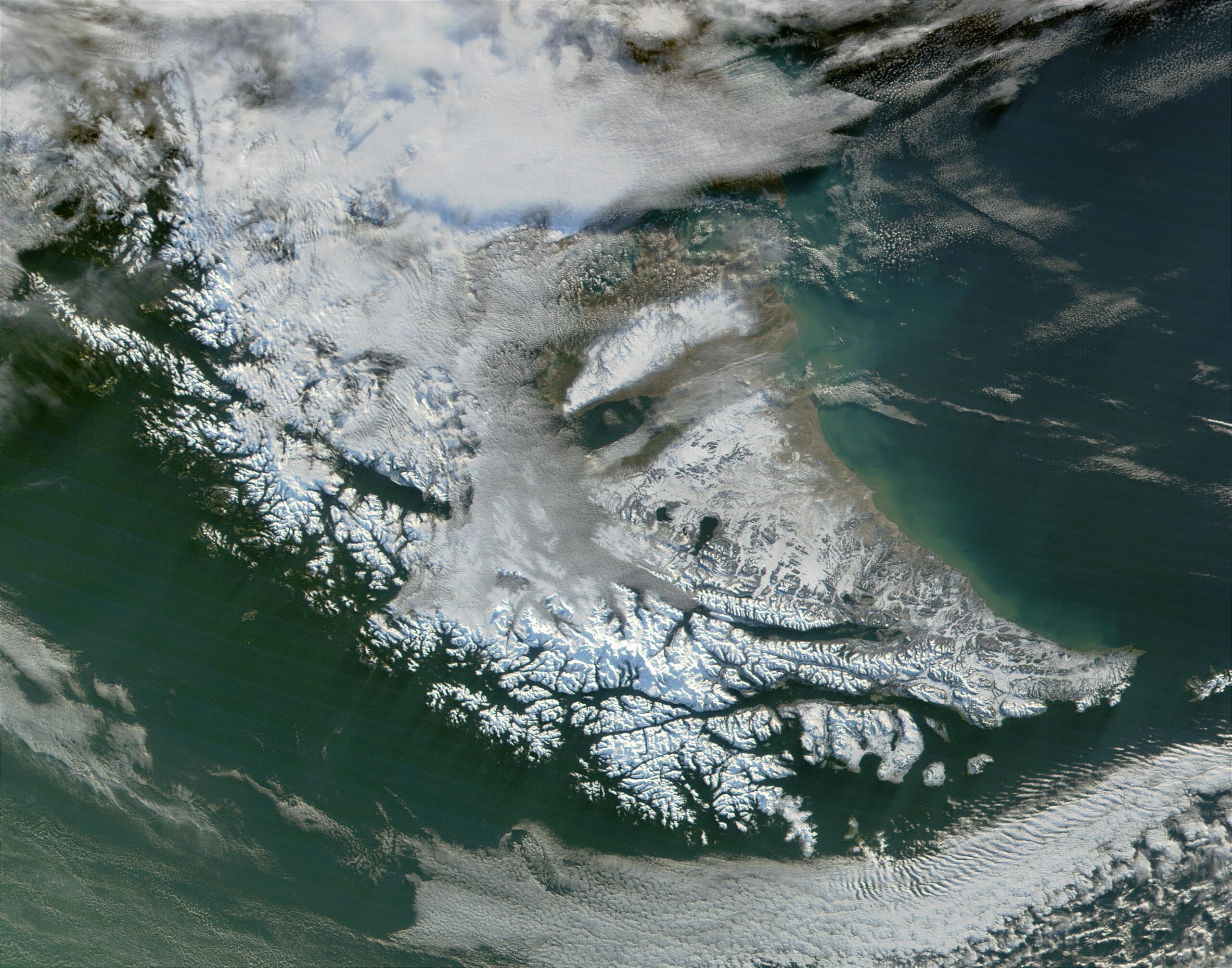
English: Satellite image of Tierra del Fuego. Very cloudy and snowy because this picture was taken during the southern hemisphere's autumn. |
| Date | |
| Source | http://visibleearth.nasa.gov/view_rec.php?id=1949 |
| Author | Jacques Descloitres, MODIS Land Rapid Response Team |
Licensing edit
| This file is in the public domain in the United States because it was solely created by NASA. NASA copyright policy states that "NASA material is not protected by copyright unless noted". (See Template:PD-USGov, NASA copyright policy page or JPL Image Use Policy.) | ||
 |
Warnings:
|
File history
Click on a date/time to view the file as it appeared at that time.
| Date/Time | Thumbnail | Dimensions | User | Comment | |
|---|---|---|---|---|---|
| current | 20:51, 10 August 2010 | | 2,800 × 2,200 (954 KB) | IdLoveOne~commonswiki (talk | contribs) | {{Information |Description={{en|1=Satellite image of Tierra del Fuego}} |Source=http://visibleearth.nasa.gov/view_rec.php?id=1949 |Author=Jacques Descloitres, MODIS Land Rapid Response Team |Date=2006-06-08 |Permission= |oth |
You cannot overwrite this file.
File usage on Commons
The following page uses this file:
File usage on other wikis
The following other wikis use this file:
- Usage on ast.wikipedia.org
- Usage on cs.wikipedia.org
- Usage on es.wikipedia.org
- Usage on he.wikipedia.org
- Usage on pl.wikipedia.org
- Usage on pt.wikipedia.org
- Usage on sr.wikipedia.org