File:Tiffin and Monroe in Sandusky.jpg
Size of this preview: 800 × 450 pixels. Other resolutions: 320 × 180 pixels | 640 × 360 pixels | 1,024 × 576 pixels | 1,280 × 720 pixels | 2,816 × 1,584 pixels.
Original file (2,816 × 1,584 pixels, file size: 2.26 MB, MIME type: image/jpeg)
Captions
Captions
Add a one-line explanation of what this file represents
|
This is an image of a place or building that is listed on the National Register of Historic Places in the United States of America. Its reference number is 82001396. |
| Camera location | | View this and other nearby images on: OpenStreetMap |
|---|
| Description |
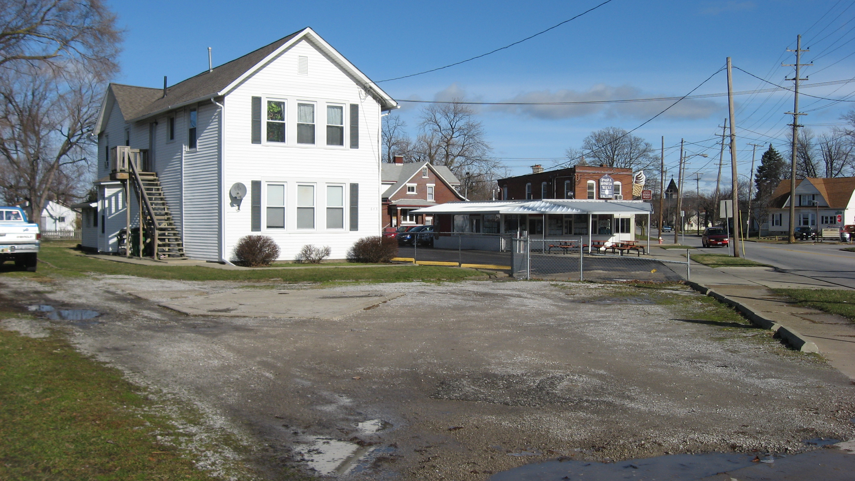
English: A parking lot on the northern corner of the junction of Tiffin Avenue (U.S. Route 6) and Monroe Street in Sandusky, Ohio, United States. The parking lot occupies the site of the Erie County Oil Products Company, which was built in 1922. It was listed on the National Register of Historic Places in 1982; although it has been destroyed since then, it remains listed on the National Register. |
||
| Date | Taken on 28 December 2011 | ||
| Source | Own work | ||
| Author | Nyttend | ||
| Permission (Reusing this file) |
|
File history
Click on a date/time to view the file as it appeared at that time.
| Date/Time | Thumbnail | Dimensions | User | Comment | |
|---|---|---|---|---|---|
| current | 23:04, 4 January 2012 | | 2,816 × 1,584 (2.26 MB) | Nyttend (talk | contribs) | {{NRHP|82001396}} {{Location|41|26|48|N|82|43|37|W}} {{Information |Description={{en|A parking lot on the northern corner of the junction of Tiffin Avenue ({{w|U.S. Route 6}}) and Monroe Street in {{w|Sandusky, Ohio|Sandusky}}, {{w|Ohio}}, {{w|United Stat |
You cannot overwrite this file.
File usage on Commons
There are no pages that use this file.
File usage on other wikis
The following other wikis use this file:
- Usage on en.wikipedia.org