File:Tintern Station.jpg
No higher resolution available.
Tintern_Station.jpg (640 × 480 pixels, file size: 98 KB, MIME type: image/jpeg)
Captions
Captions
Add a one-line explanation of what this file represents
Summary edit
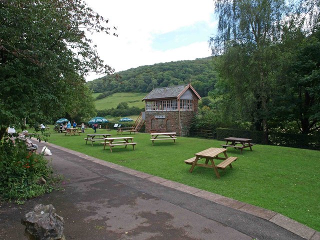
| Description | Tintern signal box and picnic area | ||
| Date | |||
| Source | From geograph.org.uk | ||
| Author | Steve Fareham | ||
| Permission (Reusing this file) |
This file is licensed under the Creative Commons Attribution-Share Alike 2.0 Generic license. Attribution: Steve Fareham
|

| Camera location | | View this and other nearby images on: OpenStreetMap |
|---|
File history
Click on a date/time to view the file as it appeared at that time.
| Date/Time | Thumbnail | Dimensions | User | Comment | |
|---|---|---|---|---|---|
| current | 22:15, 6 September 2008 | | 640 × 480 (98 KB) | Ghmyrtle (talk | contribs) | {{Information |Description={{en|1={{Information |Description=Tintern signal box and picnic area |Source=From [http://www.geograph.org.uk/photo/917945 geograph.org.uk] |Date=2008-08-10 |Author=[http://www.geograph.org.uk/profile/15341 Steve Fareham] |Permi |
You cannot overwrite this file.
File usage on Commons
The following page uses this file:
File usage on other wikis
The following other wikis use this file:
- Usage on arz.wikipedia.org
- Usage on en.wikipedia.org
- Usage on en.wikivoyage.org
- Usage on www.wikidata.org