File:Toms Lake Togo.jpg
No higher resolution available.
Toms_Lake_Togo.jpg (727 × 514 pixels, file size: 321 KB, MIME type: image/jpeg)
Captions
Captions
Add a one-line explanation of what this file represents
Summary edit
| Description |
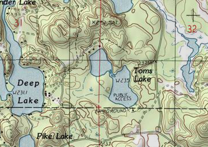
English: Topo map of Toms Lake, Schoolcraft County, Michigan USA |
| Date | |
| Source | Corner Lake Quadrangle topographic map |
| Author | United States Geological Survey (USGS) |
| Permission (Reusing this file) |
Public domain |
Licensing edit
This image is in the public domain in the United States because it only contains materials that originally came from the United States Geological Survey, an agency of the United States Department of the Interior. For more information, see the official USGS copyright policy.
|
File history
Click on a date/time to view the file as it appeared at that time.
| Date/Time | Thumbnail | Dimensions | User | Comment | |
|---|---|---|---|---|---|
| current | 20:17, 6 December 2008 | | 727 × 514 (321 KB) | MJCdetroit (talk | contribs) | {{Information |Description={{en|1=Topo map of Toms Lake, Schoolcraft County, Michigan USA}} |Source=Corner Lake Quadrangle topographic map |Author=USDA |Date=1982 |Permission= |other_versions= }} <!--{{ImageUpload|full}}--> [[Category:Schoolcraft County, |
You cannot overwrite this file.
File usage on Commons
There are no pages that use this file.
File usage on other wikis
The following other wikis use this file: