File:Top o' Town, Dorchester - geograph.org.uk - 1010118.jpg
No higher resolution available.
Top_o'_Town,_Dorchester_-_geograph.org.uk_-_1010118.jpg (640 × 432 pixels, file size: 56 KB, MIME type: image/jpeg)
Captions
Captions
Add a one-line explanation of what this file represents
Summary edit
| Description |
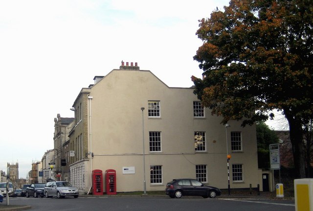
English: Top o' Town, Dorchester Looking across the Top o' Town Roundabout at the clean lines of the side of the building opposite and the two telephone boxes. Straight ahead is High West Street with St Peter's Church visible. To the right is the Cornwall Road exit from the roundabout which leads towards and alongside the Borough Gardens ending up at the junction with Weymouth Avenue and Maumbury Rings.
(I was in no danger taking this photograph!) |
| Date | |
| Source | From geograph.org.uk |
| Author | Sarah Smith |
| Attribution (required by the license) | Sarah Smith / Top o' Town, Dorchester / |
| Camera location | | View this and other nearby images on: OpenStreetMap |
|---|
_heading:90.00&language=en)
| Object location | | View this and other nearby images on: OpenStreetMap |
|---|
_heading:90.00&language=en)
Licensing edit

|
This image was taken from the Geograph project collection. See this photograph's page on the Geograph website for the photographer's contact details. The copyright on this image is owned by Sarah Smith and is licensed for reuse under the Creative Commons Attribution-ShareAlike 2.0 license.
|
This file is licensed under the Creative Commons Attribution-Share Alike 2.0 Generic license.
Attribution: Sarah Smith
- You are free:
- to share – to copy, distribute and transmit the work
- to remix – to adapt the work
- Under the following conditions:
- attribution – You must give appropriate credit, provide a link to the license, and indicate if changes were made. You may do so in any reasonable manner, but not in any way that suggests the licensor endorses you or your use.
- share alike – If you remix, transform, or build upon the material, you must distribute your contributions under the same or compatible license as the original.
File history
Click on a date/time to view the file as it appeared at that time.
| Date/Time | Thumbnail | Dimensions | User | Comment | |
|---|---|---|---|---|---|
| current | 12:18, 23 February 2011 | | 640 × 432 (56 KB) | GeographBot (talk | contribs) | == {{int:filedesc}} == {{Information |description={{en|1=Top o' Town, Dorchester Looking across the Top o' Town Roundabout at the clean lines of the side of the building opposite and the two telephone boxes. Straight ahead is High West Street with St Pet |
You cannot overwrite this file.
File usage on Commons
There are no pages that use this file.
File usage on other wikis
The following other wikis use this file:
- Usage on www.wikidata.org