File:Top of the Burnett's Creek Arch.jpg
Size of this preview: 800 × 600 pixels. Other resolutions: 320 × 240 pixels | 640 × 480 pixels | 1,024 × 768 pixels | 1,280 × 960 pixels | 2,560 × 1,920 pixels | 2,816 × 2,112 pixels.
Original file (2,816 × 2,112 pixels, file size: 3.47 MB, MIME type: image/jpeg)
Captions
Captions
Add a one-line explanation of what this file represents
| Camera location | | View this and other nearby images on: OpenStreetMap |
|---|
| Description |
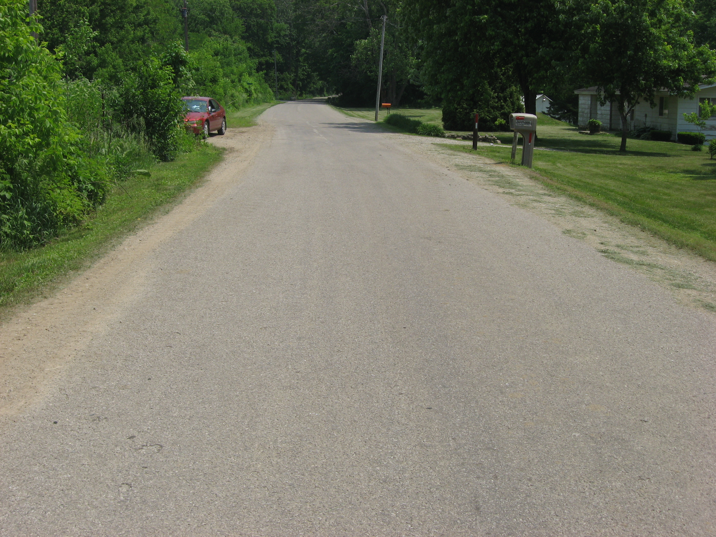
English: Top of the Burnett's Creek Arch (the Wabash and Erie Canal Culvert No. 100), which carries Towpath Road over Burnett's Creek northeast of Lockport in Adams Township, Carroll County, Indiana, United States. Built in 1840 to carry the Wabash and Erie Canal over the stream, it is listed on the National Register of Historic Places.
|
||
| Date | Taken on 4 June 2011 | ||
| Source | Own work | ||
| Author | Nyttend | ||
| Permission (Reusing this file) |
|
File history
Click on a date/time to view the file as it appeared at that time.
| Date/Time | Thumbnail | Dimensions | User | Comment | |
|---|---|---|---|---|---|
| current | 03:46, 9 June 2011 | | 2,816 × 2,112 (3.47 MB) | Nyttend (talk | contribs) | {{Location|40|42|8|N|86|34|9.2|W}} {{Information |Description={{en|Top of the Burnett's Creek Arch (the {{w|Wabash and Erie Canal Culvert No. 100}}), which carries Towpath Road over Burnett's Creek northeast of {{w|Lockport, Indiana|Lockport}} in {{w|Adam |
You cannot overwrite this file.
File usage on Commons
There are no pages that use this file.