File:Towns of hejaz arabic.png
Size of this preview: 513 × 599 pixels. Other resolutions: 205 × 240 pixels | 625 × 730 pixels.
Original file (625 × 730 pixels, file size: 1.01 MB, MIME type: image/png)
Captions
Captions
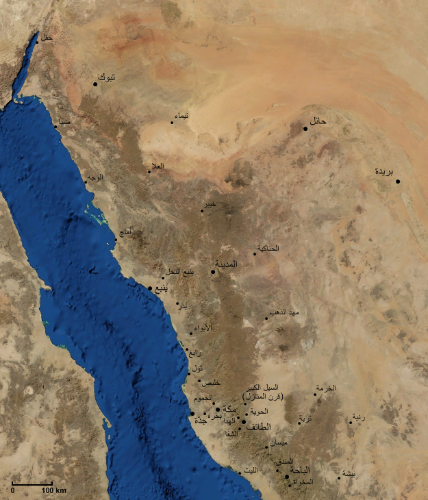
خريطة منطقة الحجاز شبه الجزيرة العربية
Summary edit
صورة فضائية للحجاز و غرب الجزيرة العربية مع مواقع أهم المدن و القرى و بعض الحواضر المجاورة.
Modified from an image obtained from NASA's WorldWind Program. ينبع أهم مدن الحجاز حضارة وثقافة وعلما. لها موروث من العادات والتقاليد والفنون تضاهي مدن القاهرة وحلب وغرناطة تشتهر بالعمائر الشاهقة على الطراز الاسلامي. يسكنها فطاحلة العلم والفكر والثقافة في الحجاز وهم أكثر اهل الحجاز تجاة وصناعة .
Licensing edit
| This image is in the public domain because it is a screenshot from NASA’s globe software World Wind using a public domain layer, such as Blue Marble, MODIS, Landsat, SRTM, USGS or GLOBE.
|
 |
File history
Click on a date/time to view the file as it appeared at that time.
| Date/Time | Thumbnail | Dimensions | User | Comment | |
|---|---|---|---|---|---|
| current | 09:28, 10 November 2007 | | 625 × 730 (1.01 MB) | Slackerlawstudent~commonswiki (talk | contribs) | |
| 01:37, 21 May 2007 |  | 625 × 730 (1.01 MB) | Slackerlawstudent~commonswiki (talk | contribs) | ||
| 04:30, 18 May 2007 |  | 625 × 730 (1.01 MB) | Slackerlawstudent~commonswiki (talk | contribs) | ||
| 01:06, 18 May 2007 |  | 625 × 730 (1.01 MB) | Slackerlawstudent~commonswiki (talk | contribs) | صورة فضائية للحجاز و غرب الجزيرة العربية مع مواقع أهم المدن و القرى و بعض الحواضر المجاورة. Modified from an image obtained from NASA's WorldWind Program. |
You cannot overwrite this file.
File usage on Commons
There are no pages that use this file.
File usage on other wikis
The following other wikis use this file: