File:Track on Easton Down - geograph.org.uk - 517504.jpg
No higher resolution available.
Track_on_Easton_Down_-_geograph.org.uk_-_517504.jpg (640 × 480 pixels, file size: 148 KB, MIME type: image/jpeg)
Captions
Captions
Add a one-line explanation of what this file represents
Summary edit
| Description |
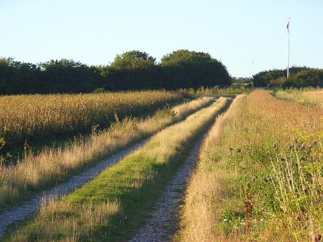
English: Track on Easton Down Still marked on maps as a public byway though there is now no public access due to the byelaws that have closed Porton Down. There is some farmland within the MOD land. The track crosses between arable fields before reaching the flagpole that signifies the start of the danger zone. |
| Date | |
| Source | From geograph.org.uk |
| Author | Andrew Smith |
| Attribution (required by the license) | Andrew Smith / Track on Easton Down / |
| Camera location | | View this and other nearby images on: OpenStreetMap |
|---|
_heading:22.00&language=en)
| Object location | | View this and other nearby images on: OpenStreetMap |
|---|
_heading:22.00&language=en)
Licensing edit

|
This image was taken from the Geograph project collection. See this photograph's page on the Geograph website for the photographer's contact details. The copyright on this image is owned by Andrew Smith and is licensed for reuse under the Creative Commons Attribution-ShareAlike 2.0 license.
|
This file is licensed under the Creative Commons Attribution-Share Alike 2.0 Generic license.
Attribution: Andrew Smith
- You are free:
- to share – to copy, distribute and transmit the work
- to remix – to adapt the work
- Under the following conditions:
- attribution – You must give appropriate credit, provide a link to the license, and indicate if changes were made. You may do so in any reasonable manner, but not in any way that suggests the licensor endorses you or your use.
- share alike – If you remix, transform, or build upon the material, you must distribute your contributions under the same or compatible license as the original.
File history
Click on a date/time to view the file as it appeared at that time.
| Date/Time | Thumbnail | Dimensions | User | Comment | |
|---|---|---|---|---|---|
| current | 14:21, 5 February 2011 | | 640 × 480 (148 KB) | GeographBot (talk | contribs) | == {{int:filedesc}} == {{Information |description={{en|1=Track on Easton Down Still marked on maps as a public byway though there is now no public access due to the byelaws that have closed Porton Down. There is some farmland within the MOD land. The trac |
You cannot overwrite this file.
File usage on Commons
There are no pages that use this file.