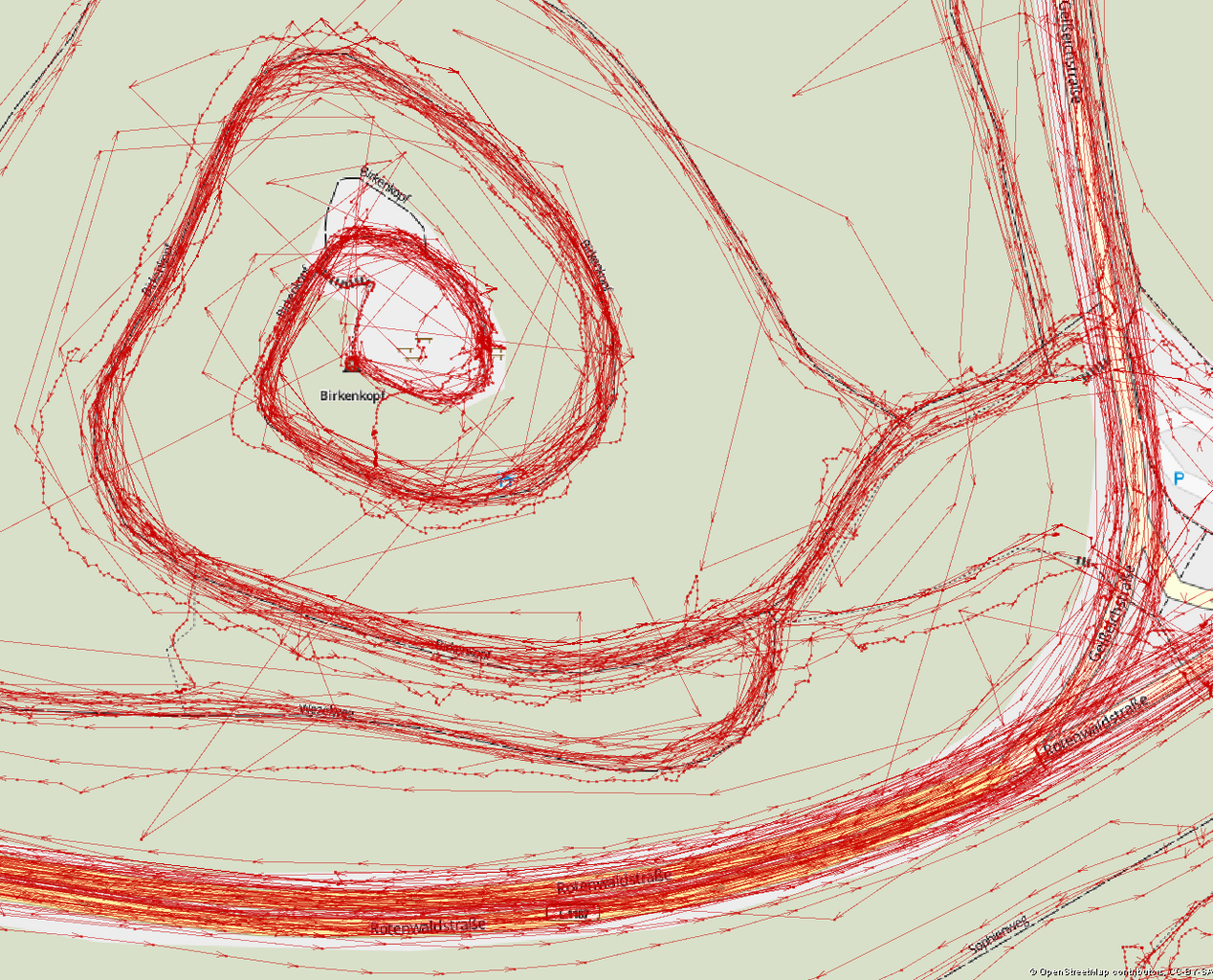
File:Tracks around the Birkenkopf.png

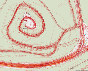
Size of this preview: 742 × 599 pixels. Other resolutions: 297 × 240 pixels | 594 × 480 pixels | 951 × 768 pixels | 1,268 × 1,024 pixels | 1,300 × 1,050 pixels.
Original file (1,300 × 1,050 pixels, file size: 467 KB, MIME type: image/png)
Captions
Captions
Add a one-line explanation of what this file represents
Summary edit
| Description |
English: Varying accuracy in a collection of GPS Tracks around the Birkenkopf in Stuttgart (Germany) |
| Date | |
| Source | The GPS traces and the data for the Hike & Bike Map in the background come from the contributors of the OpenStreetMap project |
| Author | Nachttischlampe |
| Permission (Reusing this file) |
This file is licensed under the Creative Commons Attribution-Share Alike 2.0 Generic license. Attribution: © OpenStreetMap contributors, CC-BY-SA
|
| Object location | | View this and other nearby images on: OpenStreetMap |
|---|
File history
Click on a date/time to view the file as it appeared at that time.
| Date/Time | Thumbnail | Dimensions | User | Comment | |
|---|---|---|---|---|---|
| current | 11:20, 24 April 2012 | | 1,300 × 1,050 (467 KB) | Nachttischlampe (talk | contribs) | Better balance between tracks and map. Let's hope it scales down nicely as well. |
| 11:15, 24 April 2012 |  | 1,259 × 1,045 (243 KB) | Nachttischlampe (talk | contribs) | Reverted to version as of 20:34, 21 April 2012, tracks not visible enough any more. (I'm trying to get a feeling for the scaling algorithm used here) | |
| 11:08, 24 April 2012 |  | 1,300 × 1,053 (472 KB) | Nachttischlampe (talk | contribs) | Paths and highways on the underlying map are more visible. | |
| 20:34, 21 April 2012 |  | 1,259 × 1,045 (243 KB) | Nachttischlampe (talk | contribs) |
You cannot overwrite this file.
File usage on Commons
The following 2 pages use this file:
File usage on other wikis
The following other wikis use this file:
- Usage on de.wikipedia.org
- Usage on km.wikipedia.org