File:Trail at Fort Harrison SP.jpg

Size of this preview: 800 × 600 pixels. Other resolutions: 320 × 240 pixels | 640 × 480 pixels | 1,024 × 768 pixels | 1,280 × 960 pixels | 2,560 × 1,920 pixels | 2,816 × 2,112 pixels.
Original file (2,816 × 2,112 pixels, file size: 3.75 MB, MIME type: image/jpeg)
Captions
Captions
Add a one-line explanation of what this file represents
|
This is an image of a place or building that is listed on the National Register of Historic Places in the United States of America. Its reference number is 11000912. |
| Description |
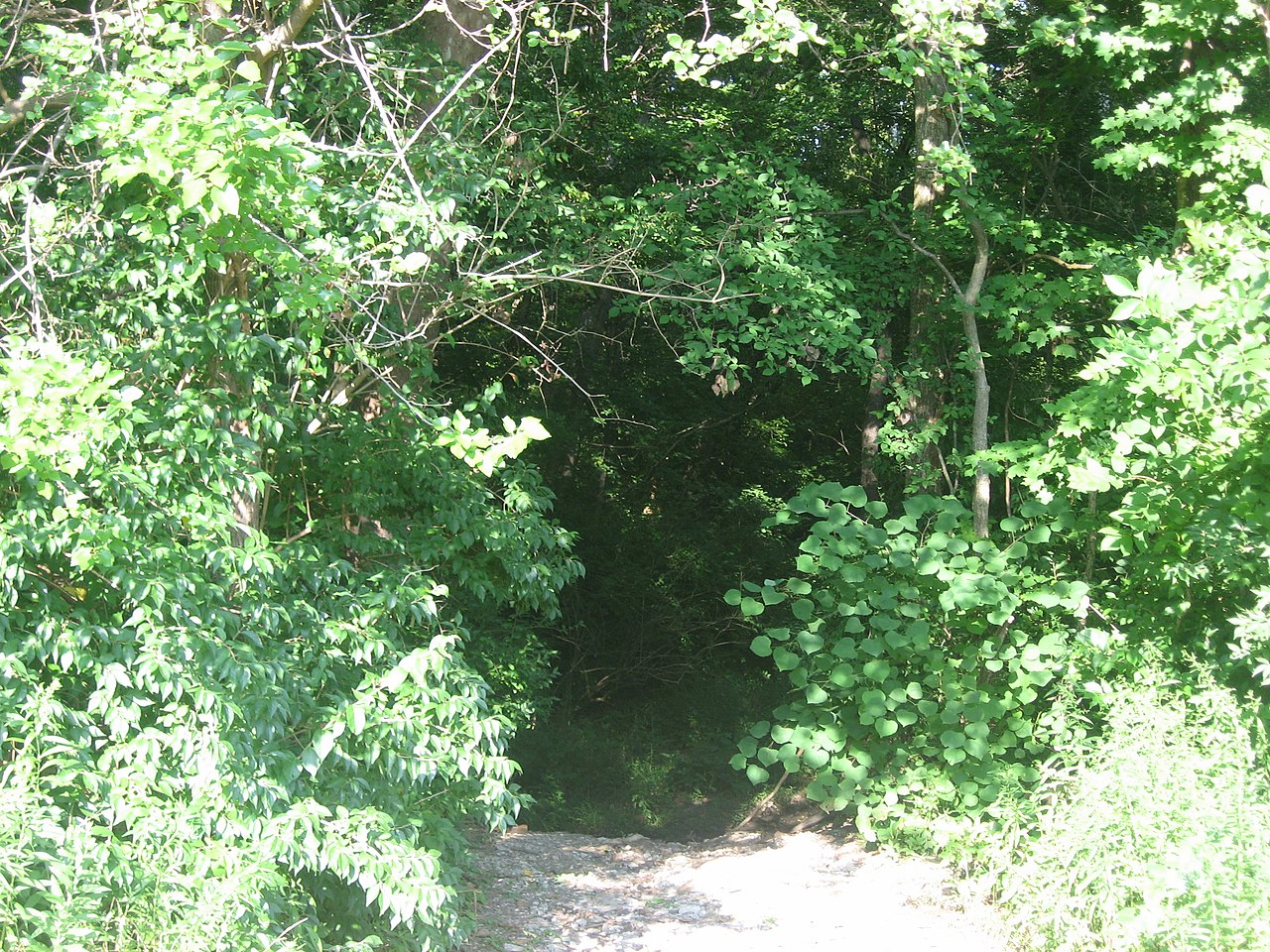
English: Looking down a trail from an open area at Fort Harrison State Park in Lawrence Township, Marion County (Indianapolis), Indiana, United States. This view looks toward archeological site 12Ma649, which is listed on the National Register of Historic Places. |
||
| Date | Taken on 20 July 2012 | ||
| Source | Own work | ||
| Author | Nyttend | ||
| Permission (Reusing this file) |
|
| Object location | | View this and other nearby images on: OpenStreetMap |
|---|
File history
Click on a date/time to view the file as it appeared at that time.
| Date/Time | Thumbnail | Dimensions | User | Comment | |
|---|---|---|---|---|---|
| current | 12:51, 29 July 2012 | | 2,816 × 2,112 (3.75 MB) | Nyttend (talk | contribs) | {{NRHP|11000912}} {{Information |Description={{en|Looking down a trail from an open area at {{w|Fort Harrison State Park}} in {{w|Lawrence Township, Marion County, Indiana|Lawrence Township}}, {{w|Marion County, Indiana|Marion County}} ({{w|Indianapoli... |
You cannot overwrite this file.
File usage on Commons
There are no pages that use this file.
File usage on other wikis
The following other wikis use this file: