File:Trail between Aga and Corte di Quà 07.jpg
Size of this preview: 800 × 600 pixels. Other resolutions: 320 × 240 pixels | 640 × 480 pixels | 1,024 × 768 pixels | 1,280 × 960 pixels | 2,560 × 1,920 pixels | 3,648 × 2,736 pixels.
Original file (3,648 × 2,736 pixels, file size: 7.33 MB, MIME type: image/jpeg)
Captions
Captions
Add a one-line explanation of what this file represents
Summary edit
| Description |
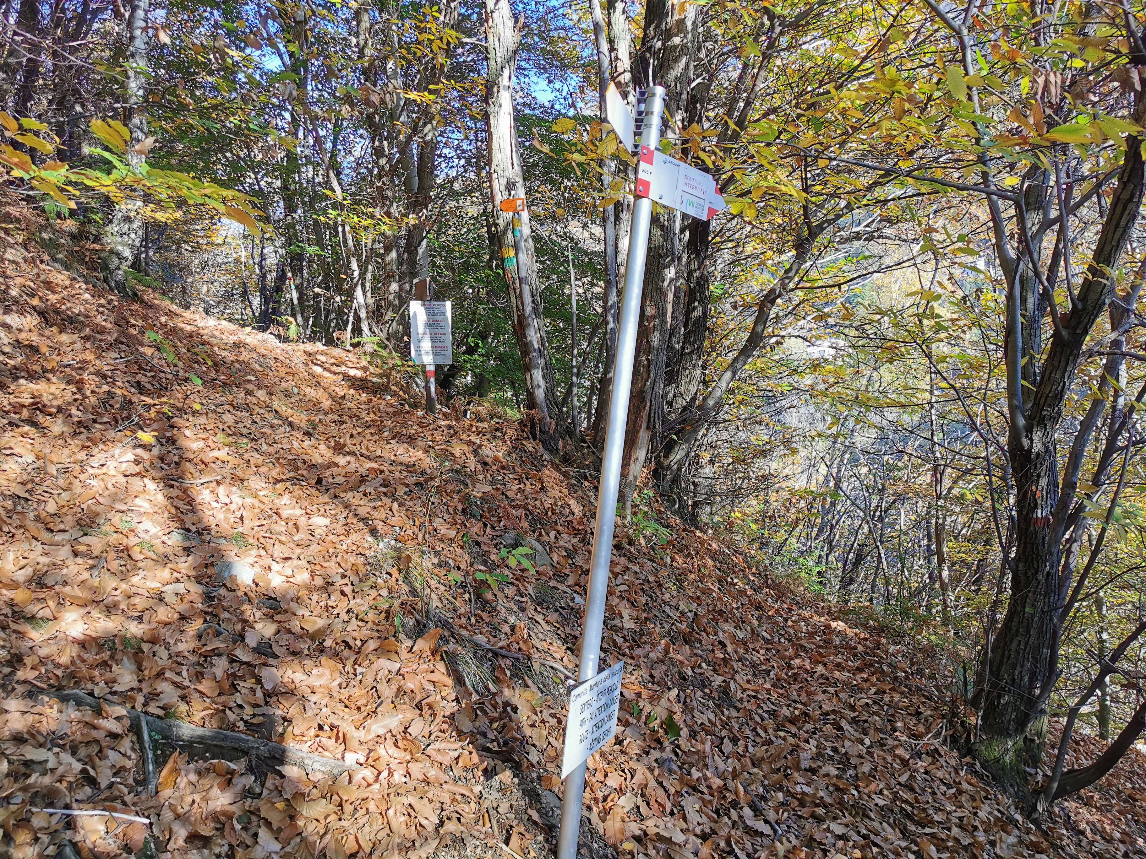
Italiano: Sentiero tra Aga e Corte di Quà. Percorso dagli itinerariː Anulare Valcuviano, Via Verde Varesina, sentiero 205. In primo piano il segnavia posto al bivio con il sentiero 205F che punta direttamente su Arcumeggia (sentiero interrotto per frana già da qualche anno, alla data della foto, come indicato sul segnavia). Alla base del segnavia, e in secondo piano, due cartelli di pericolo che invitano a non lasciare i sentieri segnalati. |
| Date | |
| Source | Own work |
| Author | Kaitu |
| Camera location | | View this and other nearby images on: OpenStreetMap |
|---|
Licensing edit
I, the copyright holder of this work, hereby publish it under the following license:
This file is licensed under the Creative Commons Attribution-Share Alike 4.0 International license.
- You are free:
- to share – to copy, distribute and transmit the work
- to remix – to adapt the work
- Under the following conditions:
- attribution – You must give appropriate credit, provide a link to the license, and indicate if changes were made. You may do so in any reasonable manner, but not in any way that suggests the licensor endorses you or your use.
- share alike – If you remix, transform, or build upon the material, you must distribute your contributions under the same or compatible license as the original.
| Annotations | This image is annotated: View the annotations at Commons |
File history
Click on a date/time to view the file as it appeared at that time.
| Date/Time | Thumbnail | Dimensions | User | Comment | |
|---|---|---|---|---|---|
| current | 20:55, 26 December 2022 | | 3,648 × 2,736 (7.33 MB) | Kaitu (talk | contribs) | Uploaded own work with UploadWizard |
You cannot overwrite this file.
File usage on Commons
There are no pages that use this file.