File:Trig Point Kithurst Hill.jpg
Size of this preview: 800 × 592 pixels. Other resolutions: 320 × 237 pixels | 640 × 474 pixels | 1,024 × 758 pixels | 1,280 × 948 pixels | 2,048 × 1,516 pixels.
Original file (2,048 × 1,516 pixels, file size: 3.86 MB, MIME type: image/jpeg)
Captions
Captions
Add a one-line explanation of what this file represents
Summary edit
| Description |
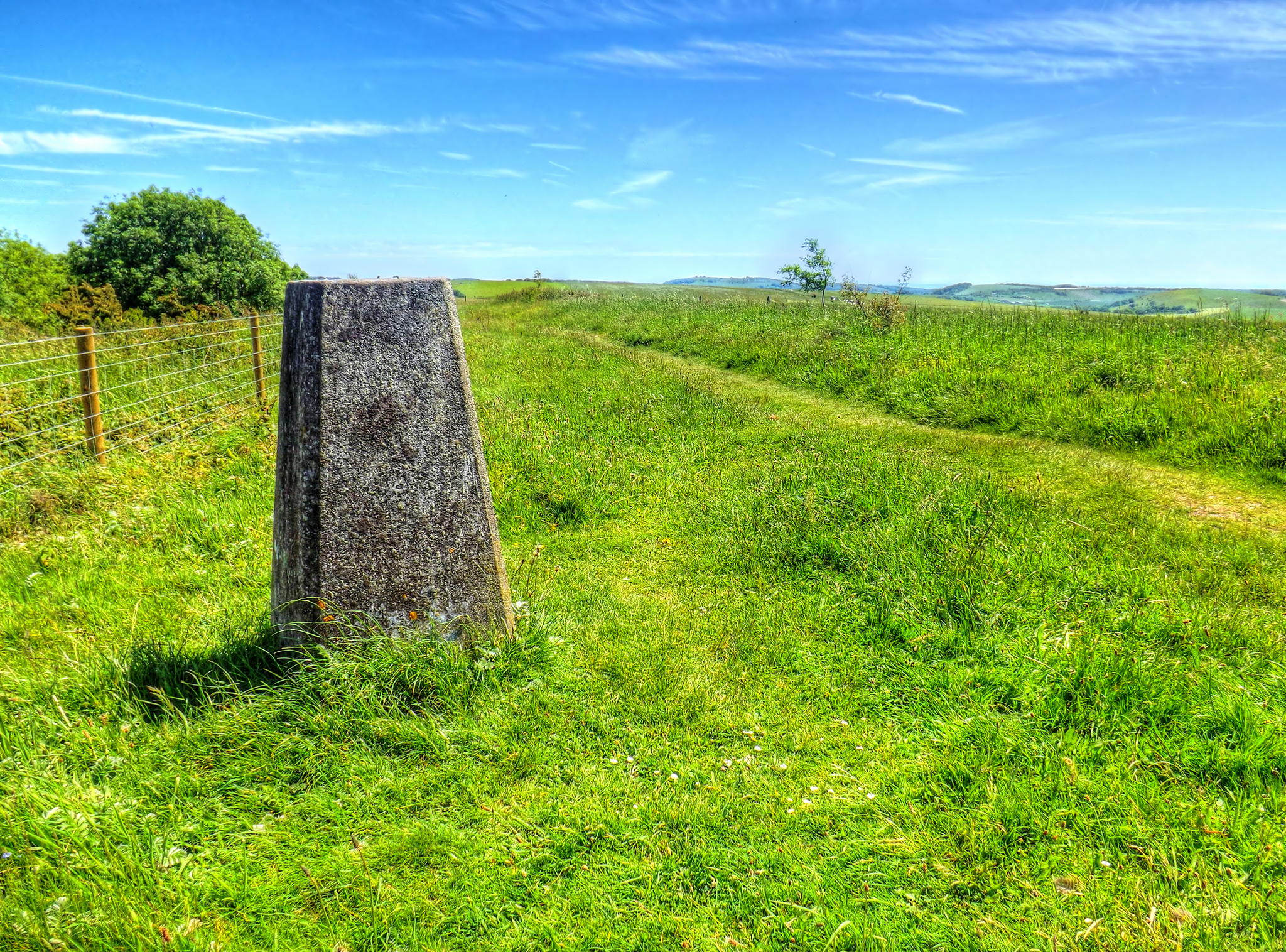
English: Trig Point on Kithurst Hill West Sussex. Located on the South Downs Way above the village of Storrington. 699ft high at the summit. |
| Date | |
| Source | Own work |
| Author | Malcolm Oakley |
| Camera location | | View this and other nearby images on: OpenStreetMap |
|---|
Please credit image to Malcolm Oakley
Licensing edit
I, the copyright holder of this work, hereby publish it under the following license:
This file is licensed under the Creative Commons Attribution-Share Alike 3.0 Unported license.
- You are free:
- to share – to copy, distribute and transmit the work
- to remix – to adapt the work
- Under the following conditions:
- attribution – You must give appropriate credit, provide a link to the license, and indicate if changes were made. You may do so in any reasonable manner, but not in any way that suggests the licensor endorses you or your use.
- share alike – If you remix, transform, or build upon the material, you must distribute your contributions under the same or compatible license as the original.
File history
Click on a date/time to view the file as it appeared at that time.
| Date/Time | Thumbnail | Dimensions | User | Comment | |
|---|---|---|---|---|---|
| current | 13:49, 14 June 2014 | | 2,048 × 1,516 (3.86 MB) | Malcolm Oakley (talk | contribs) | User created page with UploadWizard |
You cannot overwrite this file.
File usage on Commons
There are no pages that use this file.
File usage on other wikis
The following other wikis use this file:
- Usage on ca.wikipedia.org
- Usage on en.wikipedia.org