File:Triton map 20170618.png

Size of this preview: 800 × 329 pixels. Other resolutions: 320 × 132 pixels | 640 × 263 pixels | 1,024 × 421 pixels | 1,280 × 527 pixels | 2,560 × 1,053 pixels | 8,790 × 3,616 pixels.
Original file (8,790 × 3,616 pixels, file size: 3.05 MB, MIME type: image/png)
Captions
Captions
Add a one-line explanation of what this file represents
Summary edit
| Description |
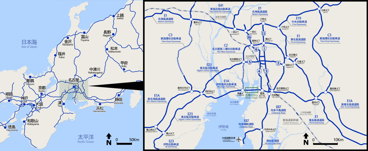
日本語: 名港トリトンの周辺地図 |
| Date | |
| Source | Own work |
| Author | Oka21000 |
Licensing edit
I, the copyright holder of this work, hereby publish it under the following license:
This file is licensed under the Creative Commons Attribution-Share Alike 4.0 International license.
- You are free:
- to share – to copy, distribute and transmit the work
- to remix – to adapt the work
- Under the following conditions:
- attribution – You must give appropriate credit, provide a link to the license, and indicate if changes were made. You may do so in any reasonable manner, but not in any way that suggests the licensor endorses you or your use.
- share alike – If you remix, transform, or build upon the material, you must distribute your contributions under the same or compatible license as the original.
File history
Click on a date/time to view the file as it appeared at that time.
| Date/Time | Thumbnail | Dimensions | User | Comment | |
|---|---|---|---|---|---|
| current | 01:16, 17 March 2019 | 8,790 × 3,616 (3.05 MB) | Oka21000 (talk | contribs) | 新名神、東海環状道延伸に対応 | |
| 11:32, 24 October 2017 | 8,790 × 3,616 (3.03 MB) | Oka21000 (talk | contribs) | 新規開通区間を反映 | ||
| 12:39, 23 July 2017 | 8,790 × 3,616 (3.03 MB) | Oka21000 (talk | contribs) | 広域図を拡大 | ||
| 16:03, 21 July 2017 |  | 7,936 × 3,616 (2.62 MB) | Oka21000 (talk | contribs) | 左側の広域地図に高速道路網追加(都市高速と国道25号含む) | |
| 12:38, 29 June 2017 |  | 7,936 × 3,616 (2.03 MB) | Oka21000 (talk | contribs) | 位置情報をわかり易くするため新幹線路線追加 | |
| 12:26, 27 June 2017 |  | 7,936 × 3,616 (1.9 MB) | Oka21000 (talk | contribs) | 名古屋圏修正と方位追加 | |
| 11:25, 27 June 2017 |  | 7,936 × 3,616 (1.89 MB) | Oka21000 (talk | contribs) | 名古屋圏の範囲を明確化 | |
| 18:05, 24 June 2017 |  | 7,936 × 3,616 (1.89 MB) | Oka21000 (talk | contribs) | C4→C3 | |
| 17:55, 24 June 2017 |  | 7,936 × 3,616 (1.89 MB) | Oka21000 (talk | contribs) | ネットワークを表すために地図を広域化 | |
| 14:56, 23 June 2017 |  | 6,640 × 3,368 (1.44 MB) | Oka21000 (talk | contribs) | 静岡、東海JCTなどを追加 |
You cannot overwrite this file.
File usage on Commons
The following page uses this file: