File:Trujillo en Honduras.png
Size of this preview: 800 × 496 pixels. Other resolutions: 320 × 199 pixels | 640 × 397 pixels | 885 × 549 pixels.
Original file (885 × 549 pixels, file size: 176 KB, MIME type: image/png)
Captions
Captions
Add a one-line explanation of what this file represents
| Description |
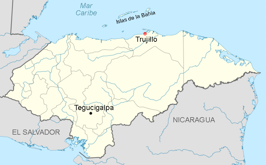
English: Location map of Trujillo in Honduras.
Español: Mapa de localización de Trujillo en Honduras. |
| Date | (UTC) |
| Source | |
| Author |
|
| This is a retouched picture, which means that it has been digitally altered from its original version. Modifications: señalar Trujillo y Tegucigalpa (Marking Trujillo y Tegucigalpa). The original can be viewed here: Honduras location map.svg:
|
I, the copyright holder of this work, hereby publish it under the following licenses:
This file is licensed under the Creative Commons Attribution-Share Alike 3.0 Unported license.
- You are free:
- to share – to copy, distribute and transmit the work
- to remix – to adapt the work
- Under the following conditions:
- attribution – You must give appropriate credit, provide a link to the license, and indicate if changes were made. You may do so in any reasonable manner, but not in any way that suggests the licensor endorses you or your use.
- share alike – If you remix, transform, or build upon the material, you must distribute your contributions under the same or compatible license as the original.

|
Permission is granted to copy, distribute and/or modify this document under the terms of the GNU Free Documentation License, Version 1.2 or any later version published by the Free Software Foundation; with no Invariant Sections, no Front-Cover Texts, and no Back-Cover Texts. A copy of the license is included in the section entitled GNU Free Documentation License. |
You may select the license of your choice.
Original upload log edit
This image is a derivative work of the following images:
- File:Honduras_location_map.svg licensed with Cc-by-sa-3.0, GFDL
- 2009-10-15T20:14:08Z Addicted04 923x573 (496336 Bytes) {{Information |Description={{en|1=Location map of Honduras.Geographic limits of the map:* West : 89° 50' W* East : 83° 00' W* North : 16° 70' N* South : 12° 80' N}} |Source=OpenStreetMap.org (CreativeCommons license) |Aut
Uploaded with derivativeFX
File history
Click on a date/time to view the file as it appeared at that time.
| Date/Time | Thumbnail | Dimensions | User | Comment | |
|---|---|---|---|---|---|
| current | 11:52, 18 October 2010 | | 885 × 549 (176 KB) | Osado (talk | contribs) | {{Information |Description={{en|1=Location map of Trujillo in Honduras.}} {{es|1=Mapa de localización de Trujillo en Honduras.}} |Source=*File:Honduras_location_map.svg |Date=2010-10-18 11:51 (UTC) |Author=*File:Honduras_location_map.svg: [[ |
You cannot overwrite this file.
File usage on Commons
There are no pages that use this file.
File usage on other wikis
The following other wikis use this file:
- Usage on ast.wikipedia.org
- Usage on es.wikipedia.org