File:Tuba,Benguetjf9710 03.JPG

Size of this preview: 800 × 600 pixels. Other resolutions: 320 × 240 pixels | 640 × 480 pixels | 1,024 × 768 pixels | 1,280 × 960 pixels | 2,560 × 1,920 pixels | 4,608 × 3,456 pixels.
Original file (4,608 × 3,456 pixels, file size: 5.08 MB, MIME type: image/jpeg)
Captions
Captions
Add a one-line explanation of what this file represents
Summary edit
| Description |
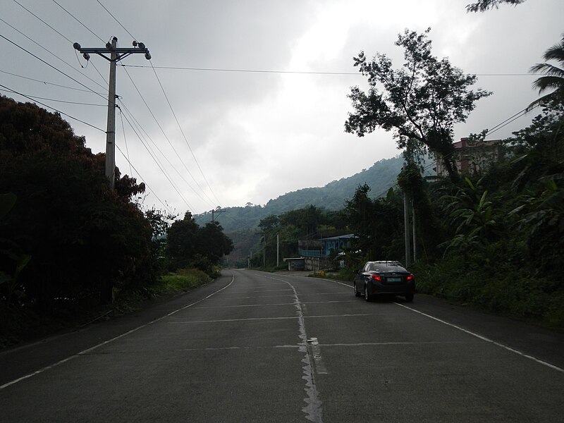
English: Upload Wizard photos of - the - panoramic, landscapes, scenery along the foggy, cloudy but majestic - Marcos Highway - Aspiras-Palispis Highway (formerly the Agoo-Baguio Road), connecting Agoo, La Union to Baguio City - Jose D. Aspiras[1] - in Barangay Inonas, Taloy Sur, and crossing, junction, intersection of Poblacion to Town Proper of Tuba, Benguet[2] (first class municipality in the province of Benguet,[3] Philippines politically subdivided into 13 barangays) in he Central Cordillera Mountain Range [4]) - the native's livelihood is primarily vegetable and fruits, especially strawberries. |
| Date | |
| Source | Own work |
| Author | Ramon FVelasquez |
Licensing edit
I, the copyright holder of this work, hereby publish it under the following license:
This file is licensed under the Creative Commons Attribution-Share Alike 3.0 Unported license.
- You are free:
- to share – to copy, distribute and transmit the work
- to remix – to adapt the work
- Under the following conditions:
- attribution – You must give appropriate credit, provide a link to the license, and indicate if changes were made. You may do so in any reasonable manner, but not in any way that suggests the licensor endorses you or your use.
- share alike – If you remix, transform, or build upon the material, you must distribute your contributions under the same or compatible license as the original.
File history
Click on a date/time to view the file as it appeared at that time.
| Date/Time | Thumbnail | Dimensions | User | Comment | |
|---|---|---|---|---|---|
| current | 10:30, 1 December 2013 | | 4,608 × 3,456 (5.08 MB) | Ramon FVelasquez (talk | contribs) | User created page with UploadWizard |
You cannot overwrite this file.
File usage on Commons
There are no pages that use this file.