File:Tula Urban Agglomeration, Russia, Landsat-7 image.jpg
Size of this preview: 490 × 599 pixels. Other resolutions: 196 × 240 pixels | 393 × 480 pixels | 1,002 × 1,225 pixels.
Original file (1,002 × 1,225 pixels, file size: 537 KB, MIME type: image/jpeg)
Captions
Captions
Add a one-line explanation of what this file represents
Summary edit
| Description |
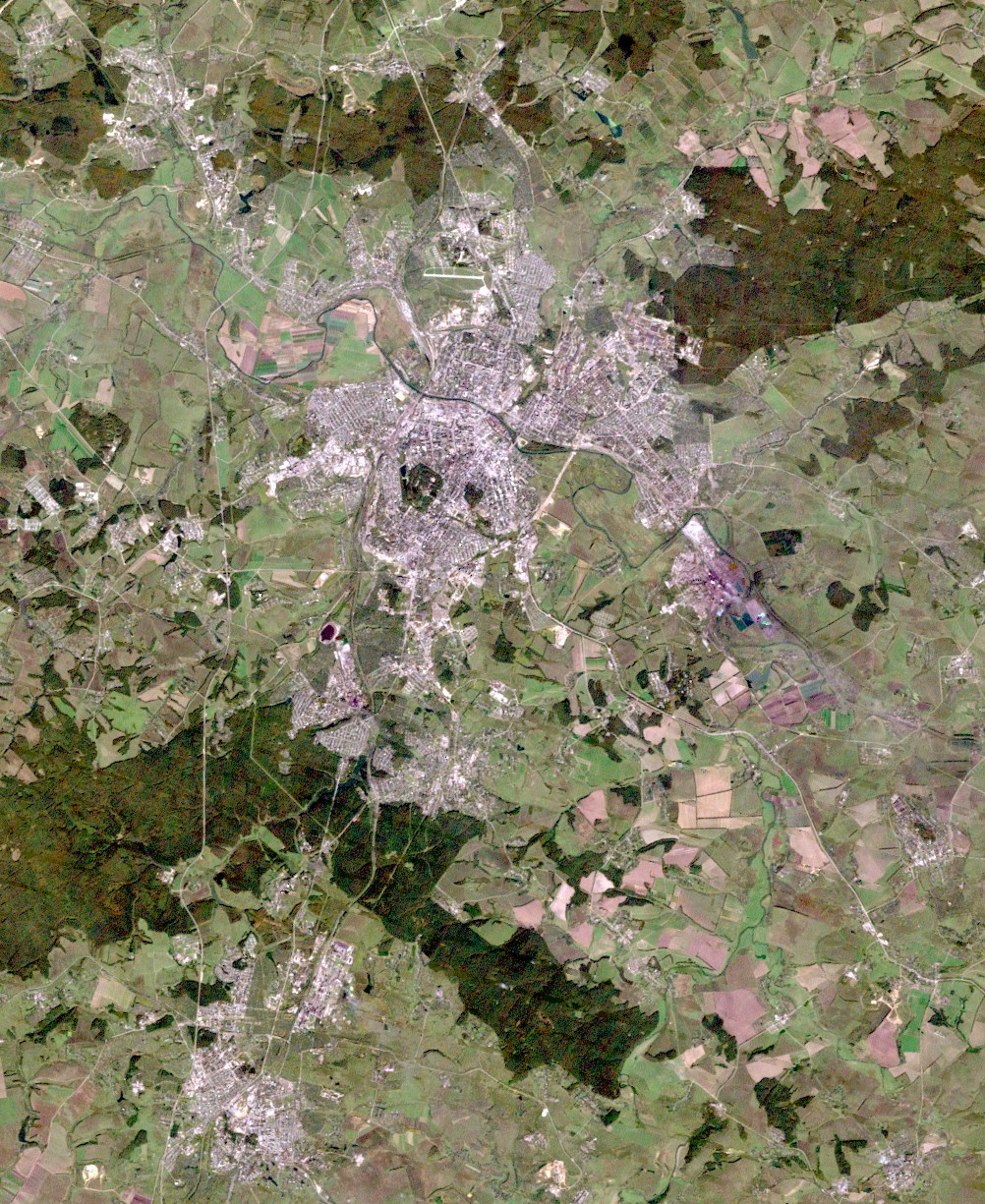
English: Tula Urban Agglomeration, Russia, Landsat-7 satellite image, near natural colors, 30 m resolution
Русский: Тульская агломерация, снимок Ландсат-7, цвета близкие к натуральным, разрешающая способность 30 м |
| Date | |
| Source | http://glovis.usgs.gov/ |
| Author | NASA |
Licensing edit
This image is in the public domain in the United States because it only contains materials that originally came from the United States Geological Survey, an agency of the United States Department of the Interior. For more information, see the official USGS copyright policy.
|
File history
Click on a date/time to view the file as it appeared at that time.
| Date/Time | Thumbnail | Dimensions | User | Comment | |
|---|---|---|---|---|---|
| current | 19:40, 3 June 2010 | | 1,002 × 1,225 (537 KB) | Bogomolov.PL (talk | contribs) | {{Information |Description={{en|1=Tula Urban Agglomeration, Russia, Landsat-7 satellite image, near natural colors, 30 m resolution}} {{ru|1=Тульская агломерация, снимок Ландсат-7, цвета близкие к натура� |
You cannot overwrite this file.
File usage on Commons
There are no pages that use this file.
File usage on other wikis
The following other wikis use this file:
- Usage on ru.wikipedia.org
- Usage on ru.wikinews.org
- Usage on sk.wikipedia.org