File:UE Soils.png

Size of this preview: 800 × 575 pixels. Other resolutions: 320 × 230 pixels | 640 × 460 pixels | 1,024 × 736 pixels | 1,280 × 920 pixels | 2,560 × 1,841 pixels | 2,872 × 2,065 pixels.
Original file (2,872 × 2,065 pixels, file size: 364 KB, MIME type: image/png)
Captions
Captions
Add a one-line explanation of what this file represents
- Source :
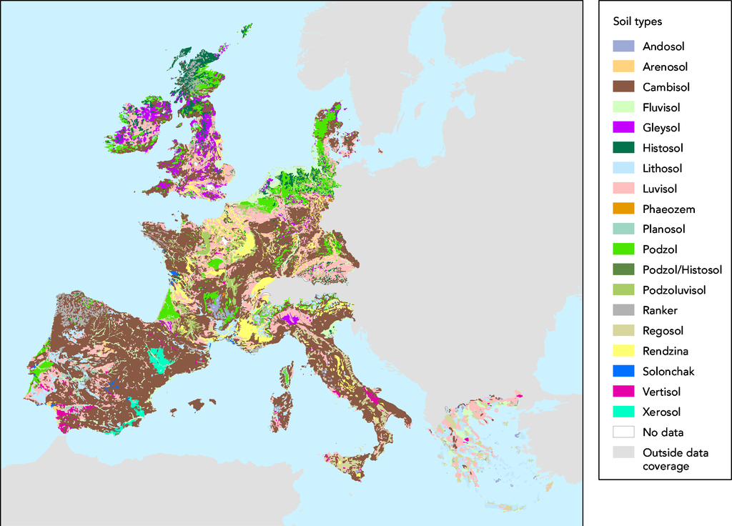
- The map was made on data in GISCO delivery 12-2002 which was slightly revised compared to the available dataset (GISCO delivery 09-2000).
- Date:
- 05/03/2003
- Keyword(s):
- desertification,soil,geographic,DISMED Natlan.
- Type:
- Map
- Technical producer:
- European Environment Agency
- http://www.eea.eu.int archive copy at the Wayback Machine
- View the full description here:
This image is in the public domain because it is extracted from the European Environment Agency Website, whose material is in the public domain unless otherwise stated (see the copyright notice). Online access: www.eea.eu.int
This is valid despite the copyright notice at the bottom of each page, see this confirmation e-mail. | |
File history
Click on a date/time to view the file as it appeared at that time.
| Date/Time | Thumbnail | Dimensions | User | Comment | |
|---|---|---|---|---|---|
| current | 15:44, 27 November 2005 | | 2,872 × 2,065 (364 KB) | Tvpm (talk | contribs) | *Source : ::The map was made on data in GISCO delivery 12-2002 which was slightly revised compared to the available dataset (GISCO delivery 09-2000). *Date: ::05/03/2003 *Keyword(s): ::desertification,soil,geographic,DISMED Natlan. *Type: ::Map *Technical |
You cannot overwrite this file.
File usage on Commons
There are no pages that use this file.
File usage on other wikis
The following other wikis use this file:
- Usage on ca.wikipedia.org
- Usage on de.wikipedia.org
- Usage on et.wikipedia.org
- Usage on fr.wikipedia.org
- Usage on nl.wikipedia.org