File:US-70-overlook-sparta-tn3.jpg

Size of this preview: 800 × 450 pixels. Other resolutions: 320 × 180 pixels | 640 × 360 pixels | 1,024 × 576 pixels | 1,280 × 720 pixels | 2,560 × 1,440 pixels | 3,840 × 2,160 pixels.
Original file (3,840 × 2,160 pixels, file size: 1.61 MB, MIME type: image/jpeg)
Captions
Captions
Add a one-line explanation of what this file represents
Summary edit
| Description |
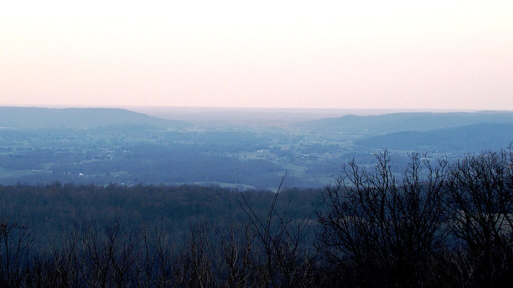
English: View across the east-central Highland Rim of White County, Tennessee, USA. This view is northwest from an overlook along US-70 at the edge of the Cumberland Plateau, about 5 miles east of Sparta. The ridge to the left of the gap is called "Walker Mountain" on USGS topographical maps. The ridge to the right of the gap is called "Goulden Mountain." Highway 111 passes through this gap en route to Cookeville. |
| Date | |
| Source | Own work |
| Author | Brian Stansberry |
Licensing edit
I, the copyright holder of this work, hereby publish it under the following license:
This file is licensed under the Creative Commons Attribution 3.0 Unported license.
- You are free:
- to share – to copy, distribute and transmit the work
- to remix – to adapt the work
- Under the following conditions:
- attribution – You must give appropriate credit, provide a link to the license, and indicate if changes were made. You may do so in any reasonable manner, but not in any way that suggests the licensor endorses you or your use.
File history
Click on a date/time to view the file as it appeared at that time.
| Date/Time | Thumbnail | Dimensions | User | Comment | |
|---|---|---|---|---|---|
| current | 00:47, 22 March 2010 | | 3,840 × 2,160 (1.61 MB) | BrineStans (talk | contribs) | {{Information |Description={{en|1=View across the east-central Highland Rim of White County, Tennessee, USA. This view is northwest from an overlook along US-70 at the edge of the Cumberland Plateau, about 5 miles east of Sparta. The ridge to the left o |
You cannot overwrite this file.
File usage on Commons
There are no pages that use this file.