File:US-CA-NevadaCity-GrassValleyFriendsMeeting-2012-04-04T073343 v1.png

Size of this preview: 800 × 494 pixels. Other resolutions: 320 × 198 pixels | 640 × 395 pixels | 1,024 × 633 pixels | 1,280 × 791 pixels | 2,560 × 1,582 pixels | 3,832 × 2,368 pixels.
Original file (3,832 × 2,368 pixels, file size: 15.82 MB, MIME type: image/png)
Captions
Captions
Add a one-line explanation of what this file represents
Summary edit
| Description |
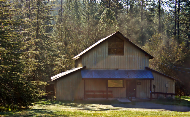
English: Grass Valley Friends' Meeting House (Quakers), Nevada City, California |
| Date | |
| Source | Own work |
| Author | Brylie Oxley |
| Camera location | | View this and other nearby images on: OpenStreetMap |
|---|
Licensing edit
I, the copyright holder of this work, hereby publish it under the following license:
This file is licensed under the Creative Commons Attribution-Share Alike 3.0 Unported license.
- You are free:
- to share – to copy, distribute and transmit the work
- to remix – to adapt the work
- Under the following conditions:
- attribution – You must give appropriate credit, provide a link to the license, and indicate if changes were made. You may do so in any reasonable manner, but not in any way that suggests the licensor endorses you or your use.
- share alike – If you remix, transform, or build upon the material, you must distribute your contributions under the same or compatible license as the original.
File history
Click on a date/time to view the file as it appeared at that time.
| Date/Time | Thumbnail | Dimensions | User | Comment | |
|---|---|---|---|---|---|
| current | 19:00, 25 March 2013 | | 3,832 × 2,368 (15.82 MB) | Brylie (talk | contribs) | Upload via KIPI uploader |
You cannot overwrite this file.
File usage on Commons
The following page uses this file: