File:USACE Dale Hollow Dam.jpg
Size of this preview: 800 × 533 pixels. Other resolutions: 320 × 213 pixels | 640 × 426 pixels | 1,024 × 682 pixels | 1,500 × 999 pixels.
Original file (1,500 × 999 pixels, file size: 412 KB, MIME type: image/jpeg)
Captions
Captions
Add a one-line explanation of what this file represents
| Description |
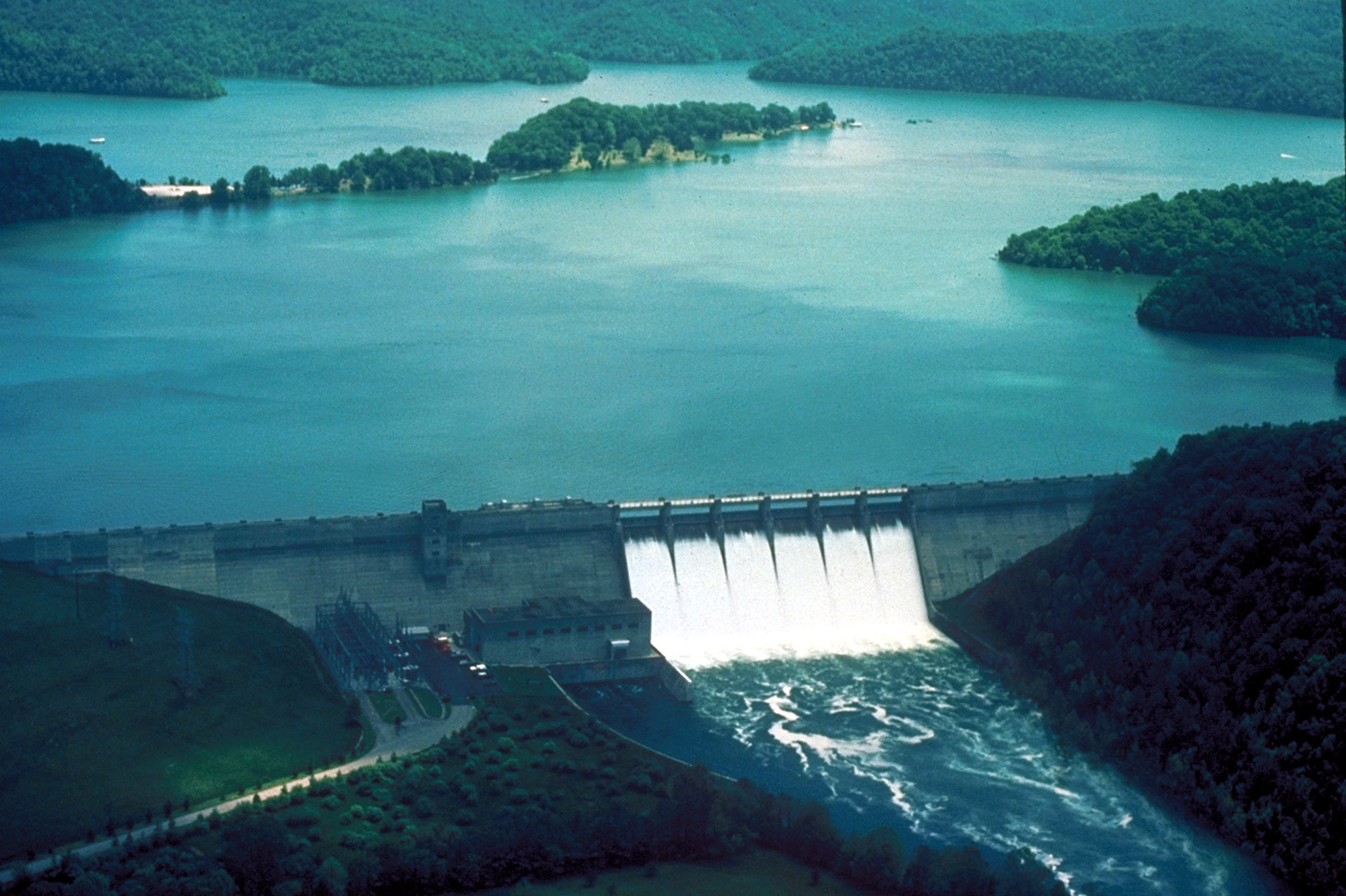
English: Dale Hollow Dam and Lake on the Obey River in Clay County near Celina, Tennessee, USA. The dam provides flood control and has a 54-MW hydroelectric power plant. View is upriver to the east-southeast. |
|||
| Date | not specified or unknown | |||
| Source |
U.S. Army Corps of Engineers Digital Visual Library Image page Image description page Digital Visual Library home page |
|||
| Author | George Green, U.S. Army Corps of Engineers | |||
| Permission (Reusing this file) |
|
| Camera location | | View this and other nearby images on: OpenStreetMap |
|---|
File history
Click on a date/time to view the file as it appeared at that time.
| Date/Time | Thumbnail | Dimensions | User | Comment | |
|---|---|---|---|---|---|
| current | 06:03, 25 March 2007 | | 1,500 × 999 (412 KB) | DanMS (talk | contribs) | {{Information | Description = {{en|Dale Hollow Dam and Lake on the Obey River in Clay County near Celina, Tennessee, USA. The dam provides flood control and has a 54-MW hydroelectric power plant.}} | Source = U.S. Army Corps of Engineers Digita |
You cannot overwrite this file.
File usage on Commons
There are no pages that use this file.
File usage on other wikis
The following other wikis use this file:
- Usage on en.wikipedia.org
- Usage on es.wikipedia.org
- Usage on www.wikidata.org