File:USACE Ray Roberts Lake and Dam.jpg
Size of this preview: 800 × 534 pixels. Other resolutions: 320 × 214 pixels | 640 × 427 pixels | 1,024 × 683 pixels | 1,500 × 1,001 pixels.
Original file (1,500 × 1,001 pixels, file size: 193 KB, MIME type: image/jpeg)
Captions
Captions
Add a one-line explanation of what this file represents
| Description |
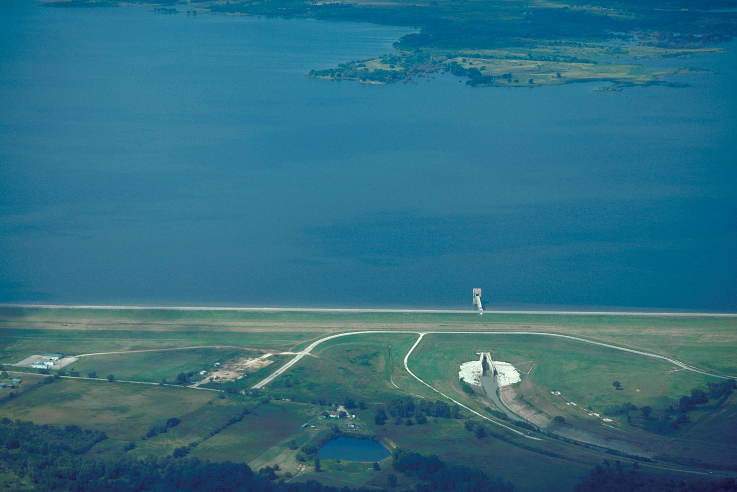
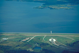
English: Aerial view of Ray Roberts Lake and Dam on the Elm Fork in Denton County, Texas, USA. This dam is over 2 miles (3.2 km) long and this photograph does not show the entire dam. The lake also backs up into Cooke and Grayson Counties. The U.S. Army Corps of Engineers constructed the dam in 1987 to provide water supply for the cities of Denton and Dallas. View is to the north.
Coordinates: 33°21′16.38″N 97°2′58.01″W / 33.35455°N 97.0494472°W |
|||
| Location | Denton County, Texas, USA | |||
| Date | not specified or unknown | |||
| Source |
U.S. Army Corps of Engineers Digital Visual Library Image page Image description page Digital Visual Library home page |
|||
| Author | U.S. Army Corps of Engineers, photographer not specified or unknown | |||
| Permission (Reusing this file) |
|
File history
Click on a date/time to view the file as it appeared at that time.
| Date/Time | Thumbnail | Dimensions | User | Comment | |
|---|---|---|---|---|---|
| current | 17:18, 19 May 2007 | | 1,500 × 1,001 (193 KB) | DanMS (talk | contribs) | {{Information | Description = {{en|Aerial view of Ray Roberts Lake and Dam on the Elm Fork in Denton County, Texas, USA. This dam is over 2 miles (3.2 km) long and this photograph does not show the entire dam. The lake also backs up into Cooke and Gray |
You cannot overwrite this file.
File usage on Commons
There are no pages that use this file.
File usage on other wikis
The following other wikis use this file:
- Usage on de.wikipedia.org
- Usage on en.wikipedia.org