File:USGS Oatman 1921 rfl01274.jpg
Size of this preview: 800 × 558 pixels. Other resolutions: 320 × 223 pixels | 640 × 447 pixels | 1,024 × 715 pixels | 1,280 × 893 pixels | 2,560 × 1,787 pixels | 4,346 × 3,033 pixels.
Original file (4,346 × 3,033 pixels, file size: 9.02 MB, MIME type: image/jpeg)
Captions
Captions
Add a one-line explanation of what this file represents
Summary edit
| Description |
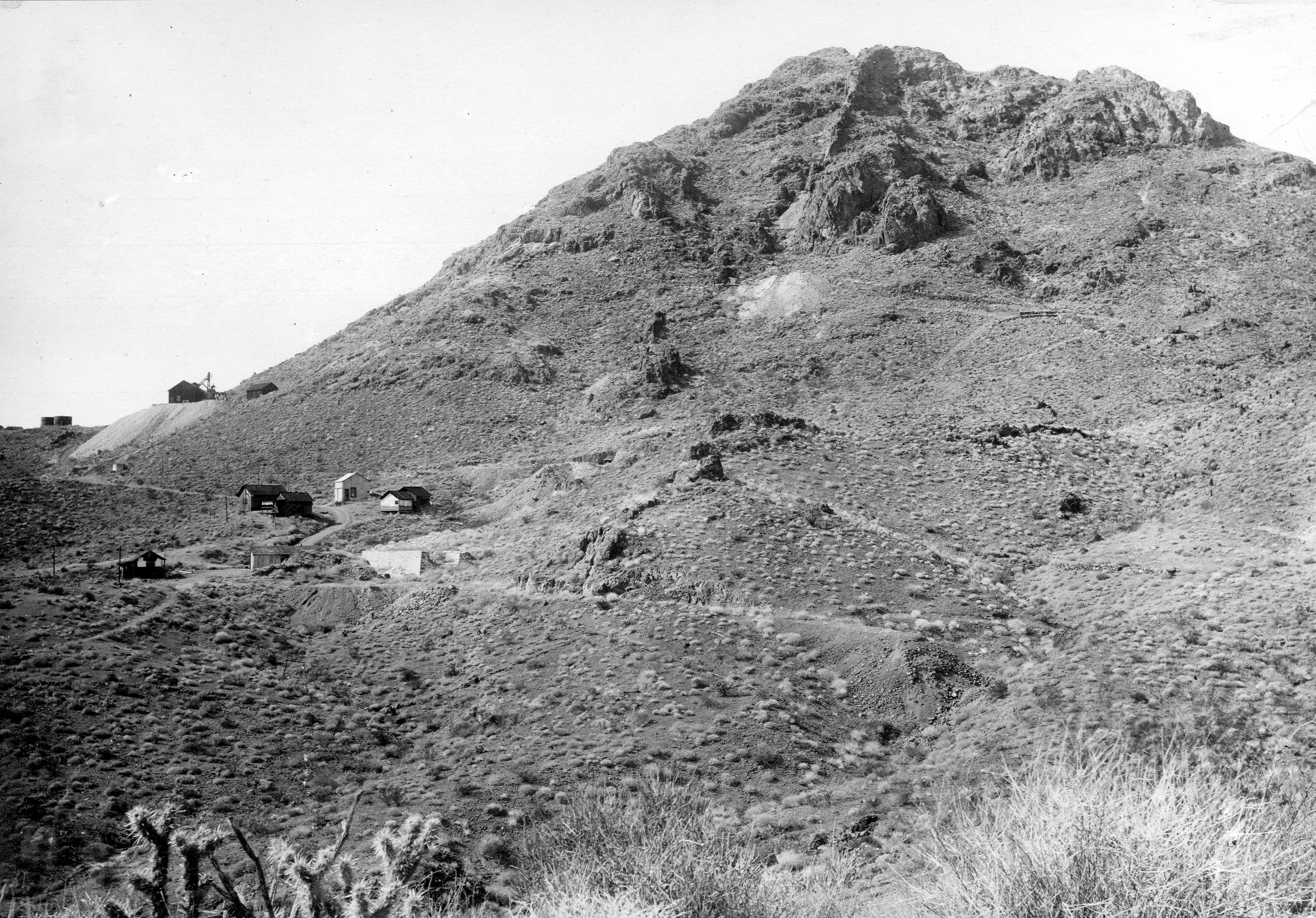
English: Mines of the Oatman district; Leland Hill from the southeast, looking along the vein; the following are identified in lazy clockwise circle starting about at the prominent outcrop in the center of the hill; No. 1 tunnel, No. 2 tunnel, No. 3 tunnel and on the ridge at left, Mitchell shaft. Mohave County, Arizona. 1921. |
|||
| Date | ||||
| Source | http://libraryphoto.cr.usgs.gov/cgi-bin/show_picture.cgi?ID=ID.%20Ransome,%20F.L.%201274 | |||
| Author | USGS | |||
| Permission (Reusing this file) |
|
Licensing edit
This image is in the public domain in the United States because it only contains materials that originally came from the United States Geological Survey, an agency of the United States Department of the Interior. For more information, see the official USGS copyright policy.
|
File history
Click on a date/time to view the file as it appeared at that time.
| Date/Time | Thumbnail | Dimensions | User | Comment | |
|---|---|---|---|---|---|
| current | 15:55, 10 August 2009 | | 4,346 × 3,033 (9.02 MB) | Transity (talk | contribs) | == {{int:filedesc}} == {{Information |Description={{en|1=Mines of the Oatman district; Leland Hill from the southeast, looking along the vein; the following are identified in lazy clockwise circle starting about at the prominent outcrop in the center of t |
You cannot overwrite this file.
File usage on Commons
The following page uses this file:
File usage on other wikis
The following other wikis use this file:
- Usage on en.wikipedia.org