File:USSR map NL 55-10 Rausu.jpg
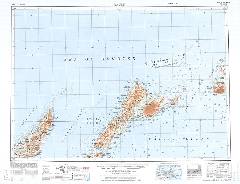
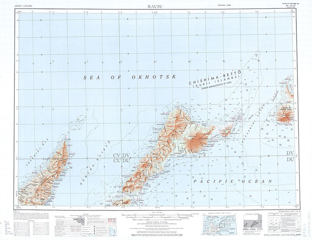
Size of this preview: 779 × 599 pixels. Other resolutions: 312 × 240 pixels | 624 × 480 pixels | 998 × 768 pixels | 1,280 × 985 pixels | 2,560 × 1,970 pixels | 5,000 × 3,847 pixels.
Original file (5,000 × 3,847 pixels, file size: 2.94 MB, MIME type: image/jpeg)
Captions
Captions
Add a one-line explanation of what this file represents
Summary edit
| Description |
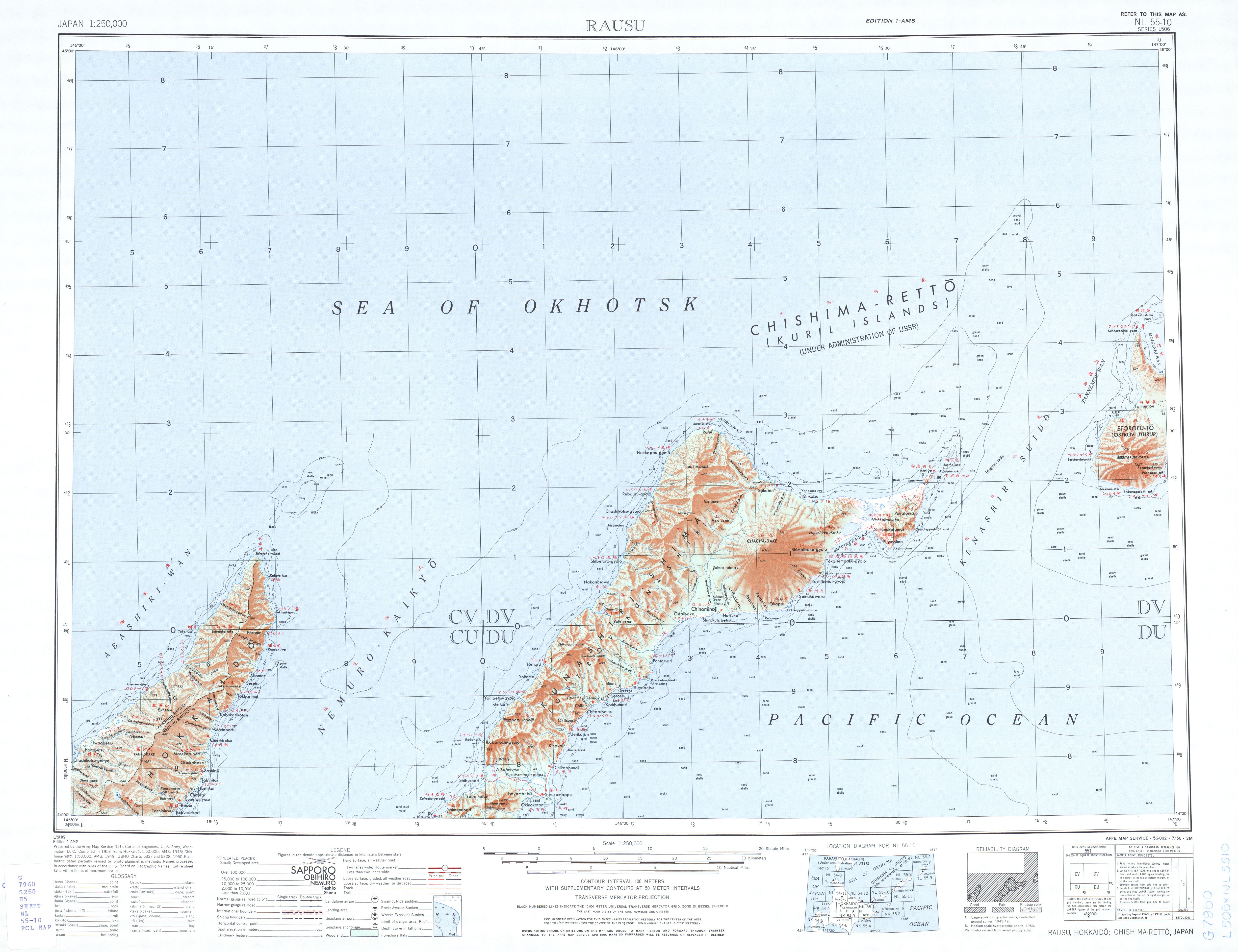
English: List from Japan AMS Topographic Maps. Series L506, U.S. Army Map Service, "compiled" in 1953; Iturup, Kunashir, Nemuro Strait, Shiretoko Peninsula
Русский: Лист из набора карт Японии Картографической военной службы США. Серия 506. 1953; Итуруп, Кунашир, Кунаширский пролив, Сиретоко
This file was uploaded with Commonist. |
| Date | |
| Source | The University of Texas libraries |
| Author |
English: U.S. Army Map Service |
Licensing edit
This file is a work of a U.S. Army soldier or employee, taken or made as part of that person's official duties. As a work of the U.S. federal government, it is in the public domain in the United States.
|
 |
File history
Click on a date/time to view the file as it appeared at that time.
| Date/Time | Thumbnail | Dimensions | User | Comment | |
|---|---|---|---|---|---|
| current | 20:15, 25 September 2011 | | 5,000 × 3,847 (2.94 MB) | Doff (talk | contribs) |
You cannot overwrite this file.
File usage on Commons
There are no pages that use this file.