File:US 15A North Carolina 1950.svg

Size of this PNG preview of this SVG file: 618 × 599 pixels. Other resolutions: 248 × 240 pixels | 495 × 480 pixels | 792 × 768 pixels | 1,056 × 1,024 pixels | 2,112 × 2,048 pixels | 1,485 × 1,440 pixels.
Original file (SVG file, nominally 1,485 × 1,440 pixels, file size: 31 KB)
Captions
Captions
Add a one-line explanation of what this file represents
Summary edit
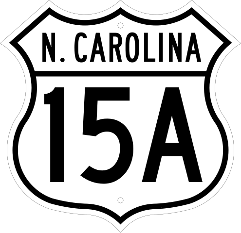
| Description | 16.5-by-16-inch (420 × 410 mm) cutout U.S. Highway route markers for independent use in the 1950s. |
| Date | |
| Source | Own work |
| Author | Dough4872 |
Licensing edit
This file is in the public domain because it comes from the Manual on Uniform Traffic Control Devices, which states specifically on page I-1 that:
|
 |
File history
Click on a date/time to view the file as it appeared at that time.
| Date/Time | Thumbnail | Dimensions | User | Comment | |
|---|---|---|---|---|---|
| current | 00:31, 26 March 2014 | | 1,485 × 1,440 (31 KB) | Dough4872 (talk | contribs) | == {{int:filedesc}} == {{Information |Description=16.5-by-16-inch (420 × 410 mm) cutout U.S. Highway route markers for independent use in the 1950s. |Source={{own}} |Date=2014-03-25 |Author=Dough4872 |Permission= |ot... |
You cannot overwrite this file.
File usage on Commons
The following page uses this file:
File usage on other wikis
The following other wikis use this file:
- Usage on en.wikipedia.org