File:Uchibanarijima gsi-20121116.jpg

Size of this preview: 600 × 600 pixels. Other resolutions: 240 × 240 pixels | 480 × 480 pixels | 768 × 768 pixels | 1,024 × 1,024 pixels | 2,300 × 2,300 pixels.
Original file (2,300 × 2,300 pixels, file size: 1.14 MB, MIME type: image/jpeg)
Captions
Captions
Add a one-line explanation of what this file represents
Summary edit
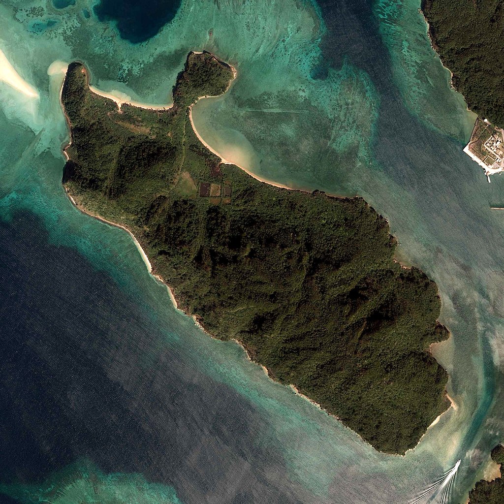
| Description |
English: Uchibanarijima, Taketomi, Okinawa, Japan.
日本語: 内離島
国土交通省の地図・空中写真閲覧サービスを元に作成。
|
| Date | |
| Source | C3-5 |
| Author |
English: Geospatial Information Authority of Japan
日本語: 国土地理院 |
| Camera location | | View this and other nearby images on: OpenStreetMap |
|---|
| This is a retouched picture, which means that it has been digitally altered from its original version. Modifications: cropped. Modifications made by Kugel~commonswiki.
|
Licensing edit

|
The copyright holder of this file, Ministry of Land, Infrastructure, Transport and Tourism, allows anyone to use it for any purpose, provided that the copyright holder is properly attributed. Redistribution, derivative work, commercial use, and all other use is permitted. |
Attribution:
National Land Image Information (Color Aerial Photographs), created by Ministry of Land, Infrastructure, Transport and Tourism, distributed by Geospatial Information Authority of Japan
|

File history
Click on a date/time to view the file as it appeared at that time.
| Date/Time | Thumbnail | Dimensions | User | Comment | |
|---|---|---|---|---|---|
| current | 04:23, 20 June 2018 | | 2,300 × 2,300 (1.14 MB) | Kugel~commonswiki (talk | contribs) | Color contrast processed |
| 02:46, 2 May 2016 |  | 2,300 × 2,300 (1.07 MB) | Kugel~commonswiki (talk | contribs) | {{Information |description={{en|Uchibanarijima, Taketomi, Okinawa, Japan.}} {{ja|内離島 国土交通省の地図・空中写真閲覧サービスを元に作成。 *整理番号 COK20122X *撮影年月日 2012年11月16日 *撮影地域 西表島 *... |
You cannot overwrite this file.
File usage on Commons
The following 2 pages use this file: