File:Ulven01.jpg

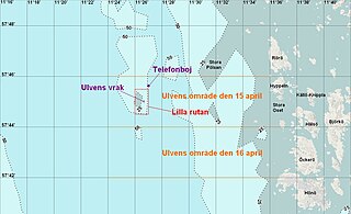
Size of this preview: 800 × 487 pixels. Other resolutions: 320 × 195 pixels | 640 × 390 pixels | 1,024 × 623 pixels | 1,263 × 769 pixels.
Original file (1,263 × 769 pixels, file size: 143 KB, MIME type: image/jpeg)
Captions
Captions
Add a one-line explanation of what this file represents
Summary edit
| Description |
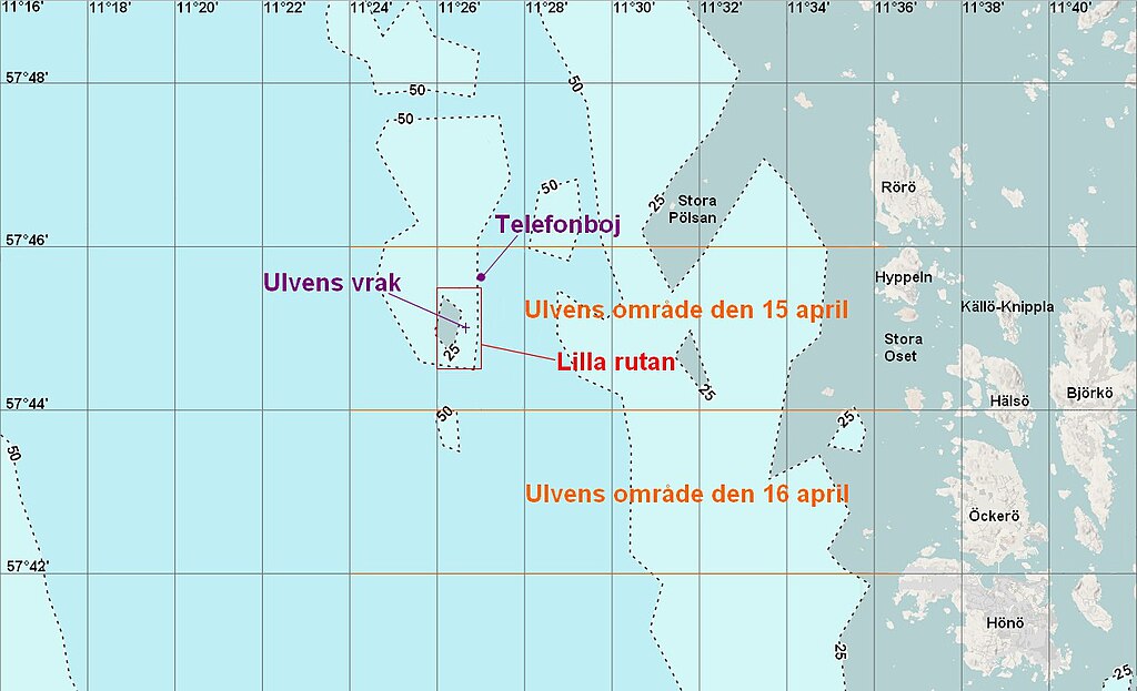
Svenska: Karta över sökområdet för ubåten Ulven i april och maj 1943.
Skapad med OpenSeaMap, och kartor från boken Ulven - Redovisning av de faktiska omständigheterna kring ubåten Ulvens förlisning" sid 63 och 65
English: Map over the searcharea in Göteborg northern archipelago, Sweden, where the submarine Ulven submerged struck a German mine in april 1943. |
| Date | |
| Source | Own work |
| Author | Dagjoh |
Licensing edit
I, the copyright holder of this work, hereby publish it under the following license:
This file is licensed under the Creative Commons Attribution-Share Alike 4.0 International license.
- You are free:
- to share – to copy, distribute and transmit the work
- to remix – to adapt the work
- Under the following conditions:
- attribution – You must give appropriate credit, provide a link to the license, and indicate if changes were made. You may do so in any reasonable manner, but not in any way that suggests the licensor endorses you or your use.
- share alike – If you remix, transform, or build upon the material, you must distribute your contributions under the same or compatible license as the original.
File history
Click on a date/time to view the file as it appeared at that time.
| Date/Time | Thumbnail | Dimensions | User | Comment | |
|---|---|---|---|---|---|
| current | 18:36, 17 May 2017 | | 1,263 × 769 (143 KB) | Dagjoh (talk | contribs) | User created page with UploadWizard |
You cannot overwrite this file.
File usage on Commons
The following page uses this file:
File usage on other wikis
The following other wikis use this file:
- Usage on sv.wikipedia.org