File:Unified Silla.svg

Size of this PNG preview of this SVG file: 512 × 580 pixels. Other resolutions: 212 × 240 pixels | 424 × 480 pixels | 678 × 768 pixels | 904 × 1,024 pixels | 1,808 × 2,048 pixels.
Original file (SVG file, nominally 512 × 580 pixels, file size: 8 KB)
Captions
Captions
Add a one-line explanation of what this file represents
Summary edit
| Description |
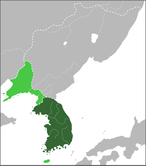
English: Map of Unified Silla. Territories. Liaodong Peninsula, Tamna, Usan |
| Date | |
| Source |
Own work, 이정범, 《지도와 함께 떠나는 역사 여행》, 푸른길, 2008, ISBN: 9788987691978 한국역사연구회, 《한국 고대의 국경과 변경》, 학술회의, 2011 |
| Author | Samhanin |
Licensing edit
I, the copyright holder of this work, hereby publish it under the following license:
This file is licensed under the Creative Commons Attribution-Share Alike 4.0 International license.
- You are free:
- to share – to copy, distribute and transmit the work
- to remix – to adapt the work
- Under the following conditions:
- attribution – You must give appropriate credit, provide a link to the license, and indicate if changes were made. You may do so in any reasonable manner, but not in any way that suggests the licensor endorses you or your use.
- share alike – If you remix, transform, or build upon the material, you must distribute your contributions under the same or compatible license as the original.
File history
Click on a date/time to view the file as it appeared at that time.
| Date/Time | Thumbnail | Dimensions | User | Comment | |
|---|---|---|---|---|---|
| current | 08:13, 23 February 2019 | | 512 × 580 (8 KB) | 复旦大学张超 (talk | contribs) | Reverted to version as of 03:34, 1 October 2017 (UTC) |
| 08:06, 23 February 2019 |  | 904 × 1,025 (132 KB) | 复旦大学张超 (talk | contribs) | edit | |
| 03:34, 1 October 2017 |  | 512 × 580 (8 KB) | Samhanin (talk | contribs) | User created page with UploadWizard |
You cannot overwrite this file.
File usage on Commons
The following page uses this file:
File usage on other wikis
The following other wikis use this file:
- Usage on cs.wikipedia.org
- Usage on en.wikipedia.org
- Usage on eo.wikipedia.org
- Usage on es.wikipedia.org
- Usage on fa.wikipedia.org
- Usage on incubator.wikimedia.org
- Usage on it.wikipedia.org
- Usage on ko.wikipedia.org
- Usage on ms.wikipedia.org
- Usage on mt.wikipedia.org
- Usage on th.wikipedia.org
- Usage on uk.wikipedia.org
- Usage on www.wikidata.org