File:Unyamwesi; Karte von Inner-Afrika - DPLA - 39a6e4878725d7c7e004779a4365ef71.jpg
Size of this preview: 727 × 600 pixels. Other resolutions: 291 × 240 pixels | 582 × 480 pixels | 1,000 × 825 pixels.
Original file (1,000 × 825 pixels, file size: 171 KB, MIME type: image/jpeg)
Captions
Captions
Add a one-line explanation of what this file represents
Summary
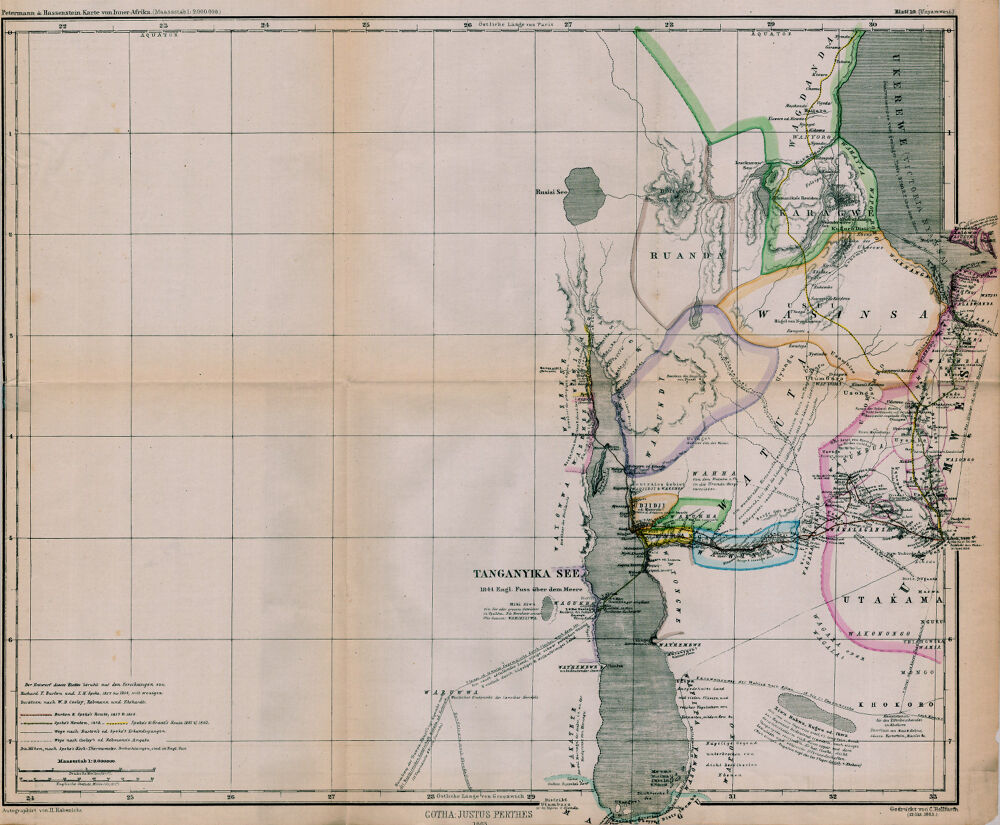
edit| Unyamwesi; Karte von Inner-Afrika
( |
|||||||||||||||||||||
|---|---|---|---|---|---|---|---|---|---|---|---|---|---|---|---|---|---|---|---|---|---|
| Creator | Hassenstein, Bruno | ||||||||||||||||||||
| Title |
Unyamwesi; Karte von Inner-Afrika |
||||||||||||||||||||
| Description |
1:2,000,000; Relief shown by hachures. Explorer's routes indicated in color. |
||||||||||||||||||||
| Date | 1863 | ||||||||||||||||||||
| Collection |
|
||||||||||||||||||||
| Source/Photographer |
|
||||||||||||||||||||
| Permission (Reusing this file) |
|
||||||||||||||||||||
| Standardized rights statement |
|
||||||||||||||||||||


File history
Click on a date/time to view the file as it appeared at that time.
| Date/Time | Thumbnail | Dimensions | User | Comment | |
|---|---|---|---|---|---|
| current | 09:18, 4 November 2022 | | 1,000 × 825 (171 KB) | DPLA bot (talk | contribs) | Uploading DPLA ID 39a6e4878725d7c7e004779a4365ef71 |
You cannot overwrite this file.
File usage on Commons
The following page uses this file: