File:Urkarte Rottweil Judengasse.pdf

Size of this JPG preview of this PDF file: 800 × 565 pixels. Other resolutions: 320 × 226 pixels | 640 × 452 pixels | 1,024 × 723 pixels | 1,280 × 904 pixels | 1,754 × 1,239 pixels.
Original file (1,754 × 1,239 pixels, file size: 4.59 MB, MIME type: application/pdf)
Captions
Captions
Add a one-line explanation of what this file represents
Summary edit
| Description |
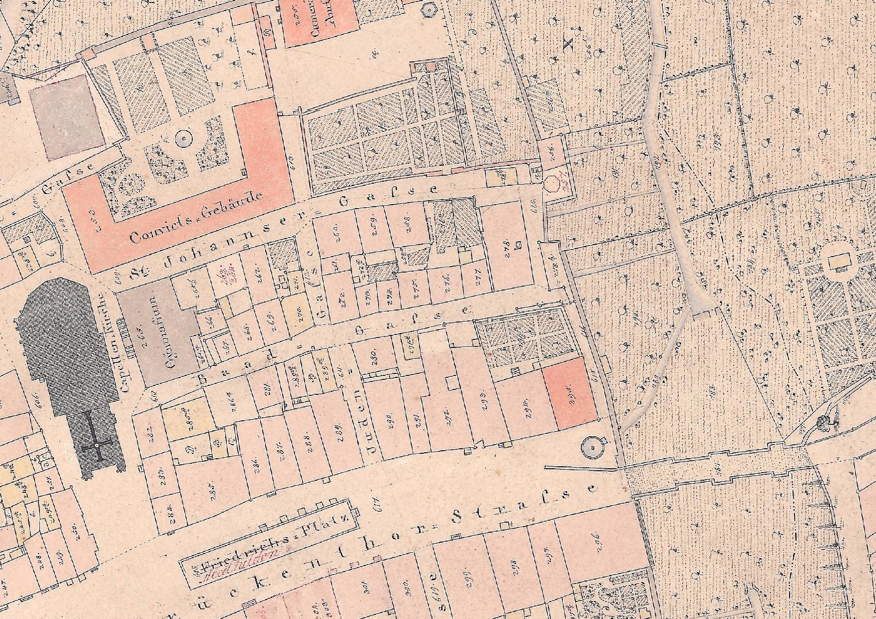
Deutsch: Ausschnitt aus der Urkarte der württembergischen Landesvermessung, aufgenommen von Geometer Klaiber im Jahre 1838 im Maßstab 1 : 1250 |
||||
| Date | |||||
| Source | Landratsamt Rottweil Flurneuordnung u. Vermessungsamt | ||||
| Author | Wilhelm Burgbacher | ||||
| Permission (Reusing this file) |
|
||||
File history
Click on a date/time to view the file as it appeared at that time.
| Date/Time | Thumbnail | Dimensions | User | Comment | |
|---|---|---|---|---|---|
| current | 11:52, 17 May 2016 |  | 1,754 × 1,239 (4.59 MB) | Nina Eger (talk | contribs) | User created page with UploadWizard |
You cannot overwrite this file.
File usage on Commons
There are no pages that use this file.